Earthquake SERAM, INDONESIA
Fri, 12 Aug 2016 18:38:43 GMT
Time9 years ago
Location
-3.3800, 127.4000
Depth
80.0 KM
Event Summary
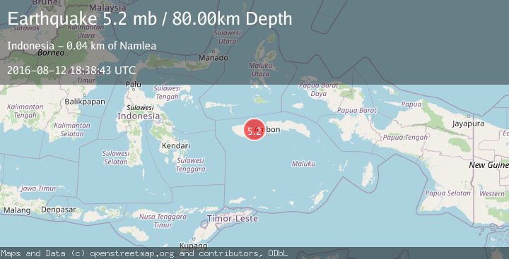
A 5.2 magnitude earthquake struck on SERAM, INDONESIA, at Fri, 12 Aug 2016 18:38:43 GMT. Depth: 80km. Reviewed by EMSC seismologists, this moderate quake occurred at a magnitude type of mb.
Magnitude
5.2
mb
Source
EMSC
Intensity
-
Agency Reports
1 Sources| Source | Magnitude | Depth | Time |
|---|---|---|---|
| EMSCPrimary | 5.2 | 80 km | 9 years ago |
Earthquake Details
AutomaticEvent IDemsc_EMSC_20160812_0000109
Tsunami PotentialNo
Magnitude Typemb
Nearest Places
- Selat Manipa4.7 km
- Pulau Suanggi11.8 km
- Tanjung Hakulon12.8 km
- Tanjung Hapale13.2 km
- Wai Nusaleo13.9 km
Comments
Join the discussion about this event.
Latest Earthquakes
1.8Mag
Region Metropolitana, Chile
Time20 hours ago
Depth14.89 km
SourceVYT (Automatic)
5.0Mag
Kepulauan Aru region, Indonesia
Time20 hours ago
Depth0.00 km
SourceVYT (Automatic)
2.5Mag
Poland
Time20 hours ago
Depth0.24 km
SourceVYT (Automatic)
1.2Mag
7 km SE of Winchester, CA
Time20 hours ago
Depth11.41 km
SourceUSGS (Automatic)
2.1Mag
Region Metropolitana, Chile
Time20 hours ago
Depth10.00 km
SourceVYT (Automatic)
Nearby Earthquakes
3.0Mag
SERAM, INDONESIA
Time5 months ago
Depth10.00 km
SourceBMKG (Automatic)
5.5Mag
SERAM, INDONESIA
Time18 years ago
Depth60.00 km
SourceEMSC (Automatic)
3.0Mag
SERAM, INDONESIA
Time7 months ago
Depth78.00 km
SourceBMKG (Automatic)
4.0Mag
SERAM, INDONESIA
Time6 years ago
Depth40.00 km
SourceDJA (Automatic)
6.8Mag
SERAM, INDONESIA
Time19 years ago
Depth20.00 km
SourceEMSC (Automatic)