Earthquake NORTH OF HALMAHERA, INDONESIA
Sun, 01 Jan 2017 14:13:34 GMT
Time9 years ago
Location
3.7300, 128.7400
Depth
10.0 KM
Event Summary
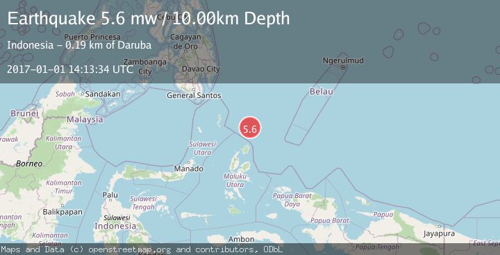
A 5.6 magnitude earthquake struck on NORTH OF HALMAHERA, INDONESIA, at Sun, 01 Jan 2017 14:13:34 GMT. Depth: 10km. Reviewed by EMSC seismologists, this moderate quake occurred at a magnitude type of mw.
Magnitude
5.6
mw
Source
EMSC
Intensity
-
Agency Reports
1 Sources| Source | Magnitude | Depth | Time |
|---|---|---|---|
| EMSCPrimary | 5.6 | 10 km | 9 years ago |
Earthquake Details
AutomaticEvent IDemsc_EMSC_20170101_0000103
Tsunami PotentialNo
Magnitude Typemw
Nearest Places
- Snellius Ridge87.4 km
- Morotai Basin115.5 km
- Tanjung Sopi122.3 km
- Kakaibabao123.9 km
- Papuamalolu125.1 km
Comments
Join the discussion about this event.
Latest Earthquakes
1.4Mag
53 km E of McCarthy, Alaska
Time6 minutes ago
Depth5.00 km
SourceUSGS (Automatic)
2.4Mag
38 km WSW of Empire, Nevada
Time7 minutes ago
Depth7.86 km
SourceUSGS (Automatic)
1.8Mag
23 km ENE of San Ardo, CA
Time12 minutes ago
Depth-0.74 km
SourceUSGS (Automatic)
4.2Mag
NEAR EAST COAST OF HONSHU, JAPAN
Time15 minutes ago
Depth30.00 km
SourceJMA (Automatic)
1.1Mag
Fox Islands, Aleutian Islands, Alaska
Time15 minutes ago
Depth0.00 km
SourceVYT (Automatic)
Nearby Earthquakes
5.1Mag
NORTH OF HALMAHERA, INDONESIA
Time7 years ago
Depth10.00 km
SourceEMSC (Automatic)
5.0Mag
NORTH OF HALMAHERA, INDONESIA
Time16 years ago
Depth40.00 km
SourceEMSC (Automatic)
5.4Mag
NORTH OF HALMAHERA, INDONESIA
Time7 years ago
Depth10.00 km
SourceEMSC (Automatic)
4.0Mag
NORTH OF HALMAHERA, INDONESIA
Time3 years ago
Depth53.00 km
SourceDJA (Automatic)
5.2Mag
NORTH OF HALMAHERA, INDONESIA
Time3 years ago
Depth10.00 km
SourceEMSC (Automatic)