Earthquake NORTH OF HALMAHERA, INDONESIA
Wed, 16 Jan 2019 10:53:14 GMT
Time7 years ago
Location
3.5500, 128.6900
Depth
10.0 KM
Event Summary
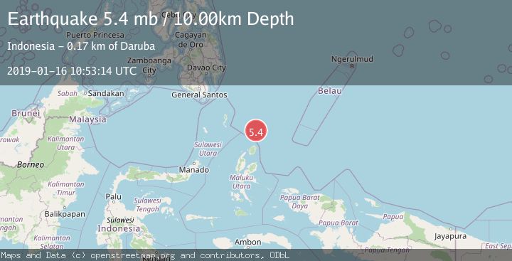
A 5.4 magnitude earthquake struck on NORTH OF HALMAHERA, INDONESIA, at Wed, 16 Jan 2019 10:53:14 GMT. Depth: 10km. Reviewed by EMSC seismologists, this moderate quake occurred at a magnitude type of mb.
Magnitude
5.4
mb
Source
EMSC
Intensity
-
Agency Reports
1 Sources| Source | Magnitude | Depth | Time |
|---|---|---|---|
| EMSCPrimary | 5.4 | 10 km | 7 years ago |
Earthquake Details
AutomaticEvent IDemsc_EMSC_20190116_0000047
Tsunami PotentialNo
Magnitude Typemb
Nearest Places
- Snellius Ridge91.5 km
- Morotai Basin98.0 km
- Tanjung Sopi101.7 km
- Kakaibabao103.3 km
- Papuamalolu104.6 km
Comments
Join the discussion about this event.
Latest Earthquakes
2.8Mag
Seram, Indonesia
Time3 minutes ago
Depth18.53 km
SourceBMKG
2.2Mag
Java, Indonesia
Time4 minutes ago
Depth115.38 km
SourceBMKG
1.4Mag
7 km NW of The Geysers, CA
Time8 minutes ago
Depth1.65 km
SourceUSGS (Automatic)
1.1Mag
7 km NE of San Jacinto, CA
Time13 minutes ago
Depth16.11 km
SourceUSGS (Automatic)
1.4Mag
CENTRAL TURKEY
Time20 minutes ago
Depth7.00 km
SourceAFAD (Automatic)
Nearby Earthquakes
5.0Mag
NORTH OF HALMAHERA, INDONESIA
Time16 years ago
Depth40.00 km
SourceEMSC (Automatic)
4.0Mag
NORTH OF HALMAHERA, INDONESIA
Time3 years ago
Depth53.00 km
SourceDJA (Automatic)
5.2Mag
NORTH OF HALMAHERA, INDONESIA
Time3 years ago
Depth10.00 km
SourceEMSC (Automatic)
5.1Mag
NORTH OF HALMAHERA, INDONESIA
Time7 years ago
Depth10.00 km
SourceEMSC (Automatic)
5.6Mag
NORTH OF HALMAHERA, INDONESIA
Time9 years ago
Depth10.00 km
SourceEMSC (Automatic)