Earthquake NORTH OF HALMAHERA, INDONESIA
Sun, 13 Jan 2019 01:20:15 GMT
Time7 years ago
Location
3.6700, 128.7300
Depth
10.0 KM
Event Summary
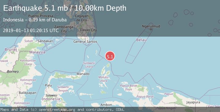
A 5.1 magnitude earthquake struck on NORTH OF HALMAHERA, INDONESIA, at Sun, 13 Jan 2019 01:20:15 GMT. Depth: 10km. Reviewed by EMSC seismologists, this moderate quake occurred at a magnitude type of mb.
Magnitude
5.1
mb
Source
EMSC
Intensity
-
Agency Reports
1 Sources| Source | Magnitude | Depth | Time |
|---|---|---|---|
| EMSCPrimary | 5.1 | 10 km | 7 years ago |
Earthquake Details
AutomaticEvent IDemsc_EMSC_20190113_0000006
Tsunami PotentialNo
Magnitude Typemb
Nearest Places
- Snellius Ridge88.9 km
- Morotai Basin110.1 km
- Tanjung Sopi115.5 km
- Kakaibabao117.2 km
- Papuamalolu118.3 km
Comments
Join the discussion about this event.
Latest Earthquakes
0.7Mag
8 km NW of The Geysers, CA
Time6 minutes ago
Depth1.59 km
SourceUSGS (Automatic)
1.2Mag
Southern Alaska
Time7 minutes ago
Depth16.72 km
SourceVYT (Automatic)
1.6Mag
49 km W of Mentone, Texas
Time7 minutes ago
Depth4.59 km
SourceUSGS (Automatic)
3.1Mag
northern Colombia
Time9 minutes ago
Depth219.97 km
SourceVYT (Automatic)
2.2Mag
Sumbawa Region, Indonesia
Time12 minutes ago
Depth15.54 km
SourceBMKG
Nearby Earthquakes
5.6Mag
NORTH OF HALMAHERA, INDONESIA
Time9 years ago
Depth10.00 km
SourceEMSC (Automatic)
5.0Mag
NORTH OF HALMAHERA, INDONESIA
Time16 years ago
Depth40.00 km
SourceEMSC (Automatic)
5.4Mag
NORTH OF HALMAHERA, INDONESIA
Time7 years ago
Depth10.00 km
SourceEMSC (Automatic)
4.0Mag
NORTH OF HALMAHERA, INDONESIA
Time3 years ago
Depth53.00 km
SourceDJA (Automatic)
5.2Mag
NORTH OF HALMAHERA, INDONESIA
Time3 years ago
Depth10.00 km
SourceEMSC (Automatic)