Earthquake ALASKA PENINSULA
Mon, 27 Feb 2017 02:08:12 GMT
Time8 years ago
Location
57.2800, -155.0000
Depth
60.0 KM
Event Summary
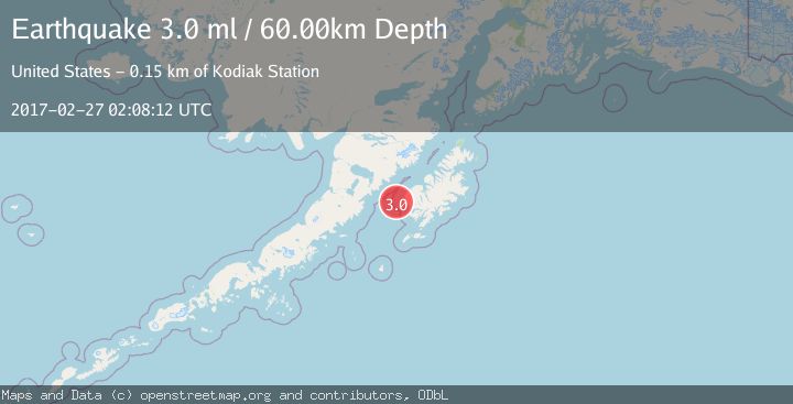
A 3.0 magnitude earthquake struck on ALASKA PENINSULA, at Mon, 27 Feb 2017 02:08:12 GMT. Depth: 60km. Reviewed by EMSC seismologists, this minor quake occurred at a magnitude type of ml.
Magnitude
3.0
ml
Source
EMSC
Intensity
-
Agency Reports
1 Sources| Source | Magnitude | Depth | Time |
|---|---|---|---|
| EMSCPrimary | 3.0 | 60 km | 8 years ago |
Earthquake Details
AutomaticEvent IDemsc_EMSC_20170227_0000007
Tsunami PotentialNo
Magnitude Typeml
Nearest Places
- Outer Seal Rock9.9 km
- Seal Rocks11.2 km
- Inner Seal Rock11.9 km
- Ikolik (historical)13.1 km
- Cape Ikolik13.2 km
Comments
Join the discussion about this event.
Latest Earthquakes
1.7Mag
western Texas
Time3 minutes ago
Depth3.42 km
SourceVYT (Automatic)
3.5Mag
Seram, Indonesia
Time5 minutes ago
Depth0.00 km
SourceVYT (Automatic)
1.6Mag
54 km WNW of Toyah, Texas
Time11 minutes ago
Depth0.00 km
SourceUSGS (Automatic)
2.2Mag
West Papua Region, Indonesia
Time12 minutes ago
Depth26.69 km
SourceBMKG
1.2Mag
WESTERN TURKEY
Time13 minutes ago
Depth7.00 km
SourceAFAD (Automatic)
Nearby Earthquakes
2.2Mag
45 km SW of Karluk, Alaska
Time21 hours ago
Depth60.60 km
SourceUSGS (Automatic)
3.0Mag
KODIAK ISLAND REGION, ALASKA
Time5 years ago
Depth1.00 km
SourceNEIC (Automatic)
5.1Mag
ALASKA PENINSULA
Time4 years ago
Depth68.00 km
SourceEMSC (Automatic)
5.2Mag
ALASKA PENINSULA
Time19 years ago
Depth53.00 km
SourceEMSC (Automatic)
5.0Mag
ALASKA PENINSULA
Time11 years ago
Depth60.00 km
SourceEMSC (Automatic)