Earthquake DODECANESE IS.-TURKEY BORDER REG
Mon, 13 Mar 2017 19:08:02 GMT
Time8 years ago
Location
36.0400, 27.0800
Depth
1.0 KM
Event Summary
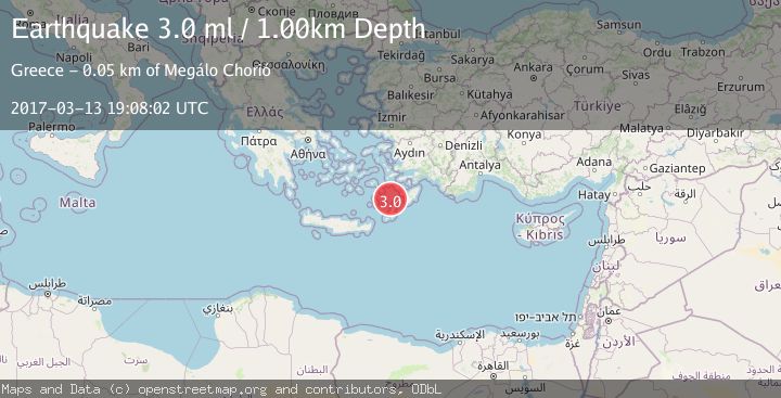
A 3.0 magnitude earthquake struck on DODECANESE IS.-TURKEY BORDER REG, at Mon, 13 Mar 2017 19:08:02 GMT. Depth: 1km. Reviewed by EMSC seismologists, this minor quake occurred at a magnitude type of ml.
Magnitude
3.0
ml
Source
EMSC
Intensity
-
Agency Reports
1 Sources| Source | Magnitude | Depth | Time |
|---|---|---|---|
| EMSCPrimary | 3.0 | 1 km | 8 years ago |
Earthquake Details
AutomaticEvent IDemsc_EMSC_20170313_0000104
Tsunami PotentialNo
Magnitude Typeml
Nearest Places
- Dodecanese Islands8.5 km
- Ákra Paraspóri21.1 km
- Árgos21.1 km
- Punta Alimunti21.5 km
- Akrotíri22.1 km
Comments
Join the discussion about this event.
Latest Earthquakes
3.7Mag
Southern Alaska
Time1 minute ago
Depth9.77 km
SourceVYT (Automatic)
1.3Mag
7 km NE of Coso Junction, CA
Time4 minutes ago
Depth5.86 km
SourceUSGS (Automatic)
1.1Mag
31 km WSW of Ackerly, Texas
Time10 minutes ago
Depth3.93 km
SourceUSGS (Automatic)
2.4Mag
West Papua Region, Indonesia
Time18 minutes ago
Depth10.00 km
SourceBMKG
3.3Mag
Talaud Islands, Indonesia
Time19 minutes ago
Depth10.00 km
SourceBMKG
Nearby Earthquakes
3.0Mag
DODECANESE ISLANDS, GREECE
Time17 years ago
Depth29.00 km
SourceEMSC (Automatic)
3.0Mag
DODECANESE ISLANDS, GREECE
Time17 years ago
Depth29.00 km
SourceEMSC (Automatic)
3.0Mag
DODECANESE ISLANDS, GREECE
Time15 years ago
Depth30.00 km
SourceEMSC (Automatic)
3.0Mag
DODECANESE IS.-TURKEY BORDER REG
Time8 years ago
Depth1.00 km
SourceEMSC (Automatic)
3.0Mag
DODECANESE IS.-TURKEY BORDER REG
Time6 months ago
Depth10.00 km
SourceTHE (Automatic)