Earthquake SOUTH OF KERMADEC ISLANDS
Sun, 19 Mar 2017 11:38:14 GMT
Time8 years ago
Location
-33.2900, -179.0200
Depth
30.0 KM
Event Summary
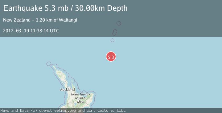
A 5.3 magnitude earthquake struck on SOUTH OF KERMADEC ISLANDS, at Sun, 19 Mar 2017 11:38:14 GMT. Depth: 30km. Reviewed by EMSC seismologists, this moderate quake occurred at a magnitude type of mb.
Magnitude
5.3
mb
Source
EMSC
Intensity
-
Agency Reports
1 Sources| Source | Magnitude | Depth | Time |
|---|---|---|---|
| EMSCPrimary | 5.3 | 30 km | 8 years ago |
Earthquake Details
AutomaticEvent IDemsc_EMSC_20170319_0000055
Tsunami PotentialNo
Magnitude Typemb
Nearest Places
- Kuiwai Seamount84.9 km
- Haungaroa Seamount94.0 km
- Star of Bengal Bank97.4 km
- Speight Knoll113.6 km
- Oliver Knoll116.8 km
Comments
Join the discussion about this event.
Latest Earthquakes
1.8Mag
8 km WNW of Waimea, Hawaii
Time6 minutes ago
Depth10.99 km
SourceUSGS (Automatic)
1.8Mag
Southeastern Alaska
Time6 minutes ago
Depth0.00 km
SourceVYT (Automatic)
2.6Mag
northern Alaska
Time7 minutes ago
Depth206.30 km
SourceVYT (Automatic)
3.4Mag
OFF W. COAST OF S. ISLAND, N.Z.
Time7 minutes ago
Depth5.00 km
SourceGNS (Automatic)
2.1Mag
NEAR THE COAST OF WESTERN TURKEY
Time8 minutes ago
Depth6.40 km
SourceKOERI (Automatic)
Nearby Earthquakes
5.0Mag
SOUTH OF KERMADEC ISLANDS
Time1 year ago
Depth50.00 km
SourceEMSC (Automatic)
5.2Mag
SOUTH OF KERMADEC ISLANDS
Time19 years ago
Depth40.00 km
SourceEMSC (Automatic)
5.2Mag
SOUTH OF KERMADEC ISLANDS
Time3 years ago
Depth10.00 km
SourceNEIC (Automatic)
5.5Mag
SOUTH OF KERMADEC ISLANDS
Time14 years ago
Depth30.00 km
SourceEMSC (Automatic)
5.4Mag
SOUTH OF KERMADEC ISLANDS
Time11 years ago
Depth48.00 km
SourceEMSC (Automatic)