Earthquake KEP. TANIMBAR REGION, INDONESIA
Fri, 11 Aug 2017 15:36:14 GMT
Time8 years ago
Location
-6.7800, 131.2600
Depth
76.0 KM
Event Summary
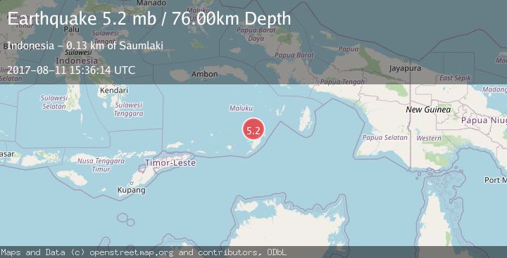
A 5.2 magnitude earthquake struck on KEP. TANIMBAR REGION, INDONESIA, at Fri, 11 Aug 2017 15:36:14 GMT. Depth: 76km. Reviewed by EMSC seismologists, this moderate quake occurred at a magnitude type of mb.
Magnitude
5.2
mb
Source
EMSC
Intensity
-
Agency Reports
1 Sources| Source | Magnitude | Depth | Time |
|---|---|---|---|
| EMSCPrimary | 5.2 | 76 km | 8 years ago |
Earthquake Details
AutomaticEvent IDemsc_EMSC_20170811_0000083
Tsunami PotentialNo
Magnitude Typemb
Nearest Places
- Tanjung Watwawu25.8 km
- Tanjung Ufi26.5 km
- Gunung Lubwaan27.0 km
- Desa Nurkat28.0 km
- Pulau Maru28.1 km
Comments
Join the discussion about this event.
Latest Earthquakes
2.8Mag
West Papua Region, Indonesia
Time3 minutes ago
Depth34.12 km
SourceBMKG
2.6Mag
Java, Indonesia
Time13 minutes ago
Depth214.22 km
SourceBMKG
1.0Mag
Southeastern Alaska
Time14 minutes ago
Depth0.00 km
SourceVYT (Automatic)
3.5Mag
COOK STRAIT, NEW ZEALAND
Time15 minutes ago
Depth75.30 km
SourceGNS (Automatic)
2.5Mag
Seram, Indonesia
Time16 minutes ago
Depth21.28 km
SourceBMKG
Nearby Earthquakes
5.1Mag
KEP. TANIMBAR REGION, INDONESIA
Time1 month ago
Depth40.00 km
SourceEMSC (Automatic)
3.9Mag
KEP. TANIMBAR REGION, INDONESIA
Time1 month ago
Depth75.00 km
SourceBMKG (Automatic)
5.0Mag
KEP. TANIMBAR REGION, INDONESIA
Time3 years ago
Depth25.00 km
SourceEMSC (Automatic)
4.0Mag
KEP. TANIMBAR REGION, INDONESIA
Time3 years ago
Depth107.00 km
SourceDJA (Automatic)
5.0Mag
KEP. TANIMBAR REGION, INDONESIA
Time6 years ago
Depth40.00 km
SourceEMSC (Automatic)