Earthquake NEAR COAST OF SOUTHERN PERU
Sun, 14 Jan 2018 09:18:45 GMT
Time8 years ago
Location
-15.7400, -74.6500
Depth
40.0 KM
Event Summary
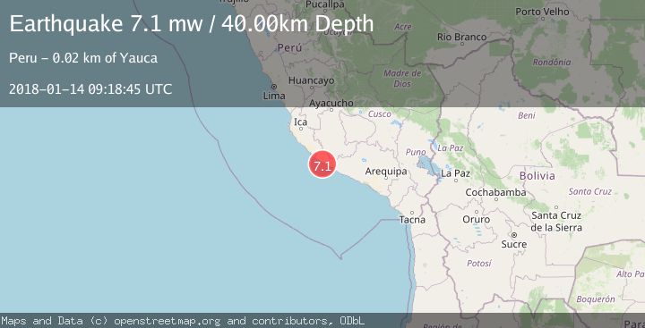
A 7.1 magnitude earthquake struck on NEAR COAST OF SOUTHERN PERU, at Sun, 14 Jan 2018 09:18:45 GMT. Depth: 40km. Reviewed by EMSC seismologists, this major quake occurred at a magnitude type of mw.
Magnitude
7.1
mw
Source
EMSC
Intensity
-
Agency Reports
1 Sources| Source | Magnitude | Depth | Time |
|---|---|---|---|
| EMSCPrimary | 7.1 | 40 km | 8 years ago |
Earthquake Details
AutomaticEvent IDemsc_EMSC_20180114_0000021
Tsunami PotentialNo
Magnitude Typemw
Nearest Places
- Playa de Yauca8.9 km
- Río Acarí9.0 km
- Americas Unidas10.0 km
- Musia10.1 km
- Chaviña10.7 km
Comments
Join the discussion about this event.
Latest Earthquakes
0.7Mag
8 km NW of The Geysers, CA
Time7 minutes ago
Depth1.59 km
SourceUSGS (Automatic)
1.2Mag
Southern Alaska
Time8 minutes ago
Depth16.72 km
SourceVYT (Automatic)
1.6Mag
49 km W of Mentone, Texas
Time8 minutes ago
Depth4.59 km
SourceUSGS (Automatic)
3.1Mag
northern Colombia
Time10 minutes ago
Depth219.97 km
SourceVYT (Automatic)
2.2Mag
Sumbawa Region, Indonesia
Time12 minutes ago
Depth15.54 km
SourceBMKG
Nearby Earthquakes
5.1Mag
NEAR COAST OF SOUTHERN PERU
Time8 years ago
Depth40.00 km
SourceEMSC (Automatic)
5.5Mag
NEAR COAST OF SOUTHERN PERU
Time8 years ago
Depth30.00 km
SourceEMSC (Automatic)
4.0Mag
NEAR COAST OF SOUTHERN PERU
Time1 year ago
Depth30.00 km
SourceLIM (Automatic)
4.0Mag
NEAR COAST OF SOUTHERN PERU
Time3 years ago
Depth60.00 km
SourceLIM (Automatic)
4.0Mag
NEAR COAST OF SOUTHERN PERU
Time3 years ago
Depth65.00 km
SourceLIM (Automatic)