Earthquake NEAR N COAST OF PAPUA, INDONESIA
Mon, 29 Jan 2018 16:25:53 GMT
Time8 years ago
Location
-2.8200, 139.4500
Depth
100.0 KM
Event Summary
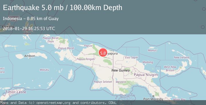
A 5.0 magnitude earthquake struck on NEAR N COAST OF PAPUA, INDONESIA, at Mon, 29 Jan 2018 16:25:53 GMT. Depth: 100km. Reviewed by EMSC seismologists, this moderate quake occurred at a magnitude type of mb.
Magnitude
5.0
mb
Source
EMSC
Intensity
-
Agency Reports
1 Sources| Source | Magnitude | Depth | Time |
|---|---|---|---|
| EMSCPrimary | 5.0 | 100 km | 8 years ago |
Earthquake Details
AutomaticEvent IDemsc_EMSC_20180129_0000088
Tsunami PotentialNo
Magnitude Typemb
Nearest Places
- Distrik Bonggo1.3 km
- Kampung Kiren13.7 km
- Kampung Komra13.7 km
- Sungai Wirubeteknala15.4 km
- Kampung Tetom16.3 km
Comments
Join the discussion about this event.
Latest Earthquakes
2.5Mag
offshore Valparaiso, Chile
Time16 hours ago
Depth0.00 km
SourceVYT (Automatic)
1.1Mag
Alaska Peninsula
Time16 hours ago
Depth55.79 km
SourceVYT (Automatic)
2.0Mag
12 km SSE of Volcano, Hawaii
Time16 hours ago
Depth3.09 km
SourceUSGS (Automatic)
2.1Mag
Kenai Peninsula, Alaska
Time16 hours ago
Depth0.00 km
SourceVYT (Automatic)
0.9Mag
4 km SSE of Banning, CA
Time16 hours ago
Depth12.80 km
SourceUSGS (Automatic)
Nearby Earthquakes
5.2Mag
NEAR N COAST OF PAPUA, INDONESIA
Time6 years ago
Depth24.00 km
SourceEMSC (Automatic)
3.5Mag
Near North Coast of West Papua
Time3 weeks ago
Depth67.58 km
SourceBMKG (Automatic)
5.1Mag
NEAR N COAST OF PAPUA, INDONESIA
Time1 year ago
Depth30.00 km
SourceEMSC (Automatic)
2.6Mag
NEAR N COAST OF PAPUA, INDONESIA
Time1 month ago
Depth49.00 km
SourceBMKG (Automatic)
3.8Mag
Near North Coast of West Papua
Time1 week ago
Depth13.28 km
SourceBMKG (Automatic)