Earthquake Near North Coast of West Papua
Sun, 08 Feb 2026 05:48:00 GMT
Time1 hour ago
Location
-2.9357, 139.4640
Depth
13.3 KM
Event Summary
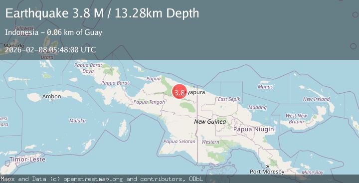
A 3.8 magnitude earthquake struck on Near North Coast of West Papua, at Sun, 08 Feb 2026 05:48:00 GMT. Depth: 13.276849km. Reviewed by BMKG seismologists, this minor quake occurred at a magnitude type of M.
Magnitude
3.8
M
Source
BMKG
Intensity
-
Agency Reports
1 Sources| Source | Magnitude | Depth | Time |
|---|---|---|---|
| BMKGPrimary | 3.8 | 13 km | 1 hour ago |
Earthquake Details
AutomaticEvent IDbmg2026crwp
Tsunami PotentialNo
Magnitude TypeM
Nearest Places
- Kampung Kiren2.0 km
- Kampung Tetom7.1 km
- Kampung Krim Podena11.2 km
- Distrik Bonggo12.4 km
- Kampung Komra24.9 km
Comments
Join the discussion about this event.
Latest Earthquakes
2.6Mag
85 km N of Yakutat, Alaska
Time5 minutes ago
Depth0.40 km
SourceUSGS (Automatic)
1.2Mag
19 km NNE of Four Mile Road, Alaska
Time16 minutes ago
Depth5.00 km
SourceUSGS (Automatic)
2.0Mag
Sumbawa Region, Indonesia
Time16 minutes ago
Depth126.95 km
SourceBMKG (Automatic)
2.2Mag
Sulawesi, Indonesia
Time17 minutes ago
Depth5.00 km
SourceBMKG (Automatic)
1.2Mag
SWITZERLAND
Time22 minutes ago
Depth4.10 km
SourceETHZ (Automatic)
Nearby Earthquakes
3.5Mag
Near North Coast of West Papua
Time1 week ago
Depth67.58 km
SourceBMKG (Automatic)
3.5Mag
Near North Coast of West Papua
Time1 week ago
Depth9.75 km
SourceBMKG (Automatic)
2.2Mag
Near North Coast of West Papua
Time1 week ago
Depth76.71 km
SourceBMKG (Automatic)
2.7Mag
West Papua, Indonesia
Time2 days ago
Depth52.18 km
SourceBMKG (Automatic)
2.2Mag
Near North Coast of West Papua
Time2 days ago
Depth95.13 km
SourceBMKG (Automatic)