Earthquake MINAHASA, SULAWESI, INDONESIA
Tue, 20 Feb 2018 09:29:27 GMT
Time8 years ago
Location
1.5000, 124.4000
Depth
222.0 KM
Event Summary
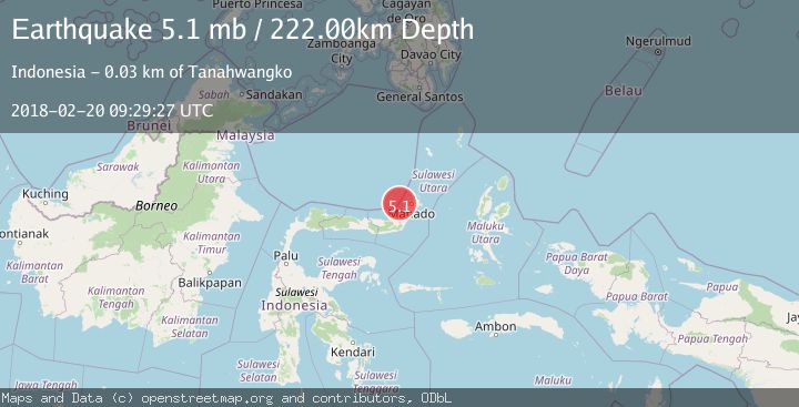
A 5.1 magnitude earthquake struck on MINAHASA, SULAWESI, INDONESIA, at Tue, 20 Feb 2018 09:29:27 GMT. Depth: 222km. Reviewed by EMSC seismologists, this moderate quake occurred at a magnitude type of mb.
Magnitude
5.1
mb
Source
EMSC
Intensity
-
Agency Reports
1 Sources| Source | Magnitude | Depth | Time |
|---|---|---|---|
| EMSCPrimary | 5.1 | 222 km | 8 years ago |
Earthquake Details
AutomaticEvent IDemsc_EMSC_20180220_0000041
Tsunami PotentialNo
Magnitude Typemb
Nearest Places
- Tanjung Sondaken21.7 km
- Tanjung Arakan21.8 km
- Lesuk Lale21.8 km
- Royangan Sondaken22.0 km
- Royongan Dua Sembilan22.0 km
Comments
Join the discussion about this event.
Latest Earthquakes
0.7Mag
3 km NNW of The Geysers, CA
Time4 hours ago
Depth2.60 km
SourceUSGS (Automatic)
1.1Mag
33 km SSE of Glacier View, Alaska
Time4 hours ago
Depth20.20 km
SourceUSGS (Automatic)
1.8Mag
50 km W of Mentone, Texas
Time4 hours ago
Depth3.75 km
SourceUSGS (Automatic)
0.9Mag
81 km NNW of Karluk, Alaska
Time4 hours ago
Depth34.10 km
SourceUSGS (Automatic)
1.5Mag
Tarapaca, Chile
Time4 hours ago
Depth32.84 km
SourceVYT (Automatic)
Nearby Earthquakes
3.0Mag
MINAHASA, SULAWESI, INDONESIA
Time2 years ago
Depth218.00 km
SourceBMKG (Automatic)
5.3Mag
MINAHASA, SULAWESI, INDONESIA
Time20 years ago
Depth125.00 km
SourceEMSC (Automatic)
5.2Mag
MINAHASA, SULAWESI, INDONESIA
Time4 years ago
Depth213.00 km
SourceEMSC (Automatic)
3.5Mag
MINAHASA, SULAWESI, INDONESIA
Time1 month ago
Depth236.00 km
SourceBMKG (Automatic)
4.0Mag
MINAHASA, SULAWESI, INDONESIA
Time4 years ago
Depth254.00 km
SourceDJA (Automatic)