Earthquake CERAM SEA, INDONESIA
Mon, 26 Feb 2018 13:34:54 GMT
Time7 years ago
Location
-2.7200, 126.8100
Depth
17.0 KM
Event Summary
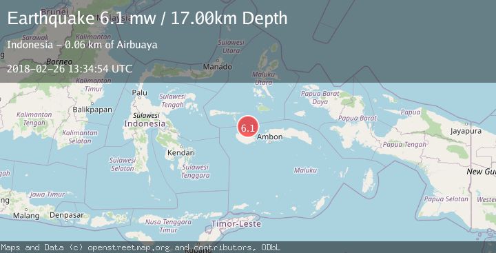
A 6.1 magnitude earthquake struck on CERAM SEA, INDONESIA, at Mon, 26 Feb 2018 13:34:54 GMT. Depth: 17km. Reviewed by EMSC seismologists, this strong quake occurred at a magnitude type of mw.
Magnitude
6.1
mw
Source
EMSC
Intensity
-
Agency Reports
1 Sources| Source | Magnitude | Depth | Time |
|---|---|---|---|
| EMSCPrimary | 6.1 | 17 km | 7 years ago |
Earthquake Details
AutomaticEvent IDemsc_EMSC_20180226_0000070
Tsunami PotentialNo
Magnitude Typemw
Nearest Places
- Buru Basin32.3 km
- Tanjung Hatawanu37.7 km
- Hata Wane38.3 km
- Wa Leman38.6 km
- Tanjung Baturuhan39.8 km
Comments
Join the discussion about this event.
Latest Earthquakes
0.9Mag
81 km NNW of Karluk, Alaska
Time8 minutes ago
Depth34.10 km
SourceUSGS (Automatic)
1.5Mag
Tarapaca, Chile
Time17 minutes ago
Depth32.84 km
SourceVYT (Automatic)
2.4Mag
Potosi, Bolivia
Time21 minutes ago
Depth239.01 km
SourceVYT (Automatic)
2.3Mag
Minahassa Peninsula, Sulawesi
Time21 minutes ago
Depth146.04 km
SourceBMKG
1.3Mag
29 km W of Garden City, Texas
Time27 minutes ago
Depth3.35 km
SourceUSGS (Automatic)
Nearby Earthquakes
5.3Mag
CERAM SEA, INDONESIA
Time7 years ago
Depth25.00 km
SourceEMSC (Automatic)
3.0Mag
Ceram Sea
Time2 hours ago
Depth13.47 km
SourceBMKG
5.0Mag
CERAM SEA, INDONESIA
Time1 year ago
Depth10.00 km
SourceEMSC (Automatic)
3.1Mag
Ceram Sea
Time5 days ago
Depth0.00 km
SourceBMKG
2.9Mag
CERAM SEA, INDONESIA
Time1 month ago
Depth415.00 km
SourceBMKG (Automatic)