Earthquake CERAM SEA, INDONESIA
Tue, 27 Feb 2018 09:20:42 GMT
Time7 years ago
Location
-2.6900, 126.8200
Depth
25.0 KM
Event Summary
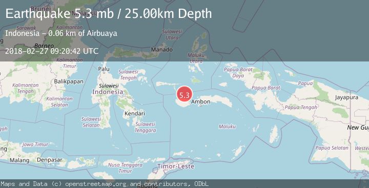
A 5.3 magnitude earthquake struck on CERAM SEA, INDONESIA, at Tue, 27 Feb 2018 09:20:42 GMT. Depth: 25km. Reviewed by EMSC seismologists, this moderate quake occurred at a magnitude type of mb.
Magnitude
5.3
mb
Source
EMSC
Intensity
-
Agency Reports
1 Sources| Source | Magnitude | Depth | Time |
|---|---|---|---|
| EMSCPrimary | 5.3 | 25 km | 7 years ago |
Earthquake Details
AutomaticEvent IDemsc_EMSC_20180227_0000033
Tsunami PotentialNo
Magnitude Typemb
Nearest Places
- Buru Basin29.1 km
- Tanjung Hatawanu41.1 km
- Hata Wane41.8 km
- Wa Leman42.0 km
- Tanjung Baturuhan43.4 km
Comments
Join the discussion about this event.
Latest Earthquakes
0.8Mag
10 km WNW of The Geysers, CA
Time19 hours ago
Depth1.96 km
SourceUSGS (Automatic)
2.4Mag
Sumbawa region, Indonesia
Time19 hours ago
Depth111.45 km
SourceVYT (Automatic)
2.3Mag
NORTHERN CALIFORNIA
Time19 hours ago
Depth2.90 km
SourceNC (Automatic)
2.6Mag
Northern Sumatra, Indonesia
Time19 hours ago
Depth12.27 km
SourceBMKG
0.7Mag
30 km SSE of Knik River, Alaska
Time19 hours ago
Depth7.80 km
SourceUSGS (Automatic)
Nearby Earthquakes
6.1Mag
CERAM SEA, INDONESIA
Time7 years ago
Depth17.00 km
SourceEMSC (Automatic)
3.1Mag
Ceram Sea
Time5 days ago
Depth0.00 km
SourceBMKG
5.0Mag
CERAM SEA, INDONESIA
Time1 year ago
Depth10.00 km
SourceEMSC (Automatic)
4.0Mag
CERAM SEA, INDONESIA
Time9 months ago
Depth10.00 km
SourceBMKG (Automatic)
2.9Mag
CERAM SEA, INDONESIA
Time1 month ago
Depth415.00 km
SourceBMKG (Automatic)