Earthquake SUNDA STRAIT, INDONESIA
Sat, 14 Apr 2018 18:02:26 GMT
Time7 years ago
Location
-6.0700, 105.5000
Depth
60.0 KM
Event Summary
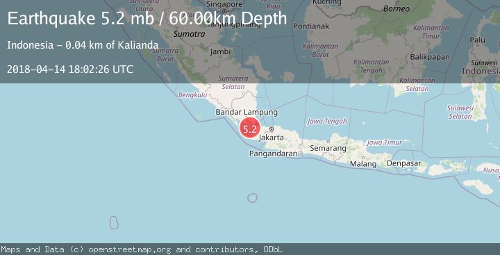
A 5.2 magnitude earthquake struck on SUNDA STRAIT, INDONESIA, at Sat, 14 Apr 2018 18:02:26 GMT. Depth: 60km. Reviewed by EMSC seismologists, this moderate quake occurred at a magnitude type of mb.
Magnitude
5.2
mb
Source
EMSC
Intensity
-
Agency Reports
1 Sources| Source | Magnitude | Depth | Time |
|---|---|---|---|
| EMSCPrimary | 5.2 | 60 km | 7 years ago |
Earthquake Details
AutomaticEvent IDemsc_EMSC_20180414_0000069
Tsunami PotentialNo
Magnitude Typemb
Nearest Places
- Pulau Krakatau Kecil5.3 km
- Tanjung Cibinua6.3 km
- Sebesi Channel8.0 km
- Batu Parang8.1 km
- Pulau Anak Krakatau9.1 km
Comments
Join the discussion about this event.
Latest Earthquakes
1.9Mag
Tarapaca, Chile
Time1 minute ago
Depth0.00 km
SourceVYT (Automatic)
2.4Mag
Sulawesi, Indonesia
Time10 minutes ago
Depth4.26 km
SourceBMKG
2.2Mag
Northern Sumatra, Indonesia
Time14 minutes ago
Depth8.25 km
SourceBMKG
2.5Mag
CRETE, GREECE
Time20 minutes ago
Depth17.50 km
SourceNOA (Automatic)
2.5Mag
Tarapaca, Chile
Time24 minutes ago
Depth112.55 km
SourceVYT (Automatic)
Nearby Earthquakes
3.0Mag
SUNDA STRAIT, INDONESIA
Time3 years ago
Depth10.00 km
SourceDJA (Automatic)
5.1Mag
SUNDA STRAIT, INDONESIA
Time15 years ago
Depth53.00 km
SourceEMSC (Automatic)
3.0Mag
SUNDA STRAIT, INDONESIA
Time4 years ago
Depth123.00 km
SourceDJA (Automatic)
3.0Mag
SUNDA STRAIT, INDONESIA
Time7 months ago
Depth127.00 km
SourceBMKG (Automatic)
5.0Mag
SUNDA STRAIT, INDONESIA
Time8 years ago
Depth60.00 km
SourceEMSC (Automatic)