Earthquake FLORES SEA
Fri, 17 Aug 2018 15:35:02 GMT
Time7 years ago
Location
-7.3600, 119.8100
Depth
546.0 KM
Event Summary
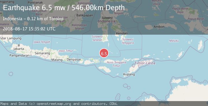
A 6.5 magnitude earthquake struck on FLORES SEA, at Fri, 17 Aug 2018 15:35:02 GMT. Depth: 546km. Reviewed by EMSC seismologists, this strong quake occurred at a magnitude type of mw.
Magnitude
6.5
mw
Source
EMSC
Intensity
-
Agency Reports
1 Sources| Source | Magnitude | Depth | Time |
|---|---|---|---|
| EMSCPrimary | 6.5 | 546 km | 7 years ago |
Earthquake Details
AutomaticEvent IDemsc_EMSC_20180817_0000083
Tsunami PotentialNo
Magnitude Typemw
Nearest Places
- Flores Basin48.2 km
- Karang Taka Kapalle72.2 km
- Karang Sanesane83.1 km
- Pulau Pangendangan87.2 km
- Pulau Bembe87.5 km
Comments
Join the discussion about this event.
Latest Earthquakes
2.9Mag
Seram, Indonesia
Time12 hours ago
Depth15.78 km
SourceBMKG
2.5Mag
Java, Indonesia
Time12 hours ago
Depth115.38 km
SourceBMKG
1.4Mag
7 km NW of The Geysers, CA
Time12 hours ago
Depth1.65 km
SourceUSGS (Automatic)
1.1Mag
7 km NE of San Jacinto, CA
Time12 hours ago
Depth16.11 km
SourceUSGS (Automatic)
1.4Mag
CENTRAL TURKEY
Time12 hours ago
Depth7.00 km
SourceAFAD (Automatic)
Nearby Earthquakes
4.0Mag
FLORES SEA
Time3 years ago
Depth536.00 km
SourceDJA (Automatic)
3.6Mag
FLORES SEA
Time1 month ago
Depth388.00 km
SourceBMKG (Automatic)
3.8Mag
Flores Sea
Time1 week ago
Depth391.41 km
SourceBMKG (Automatic)
6.1Mag
FLORES SEA
Time12 years ago
Depth551.00 km
SourceEMSC (Automatic)
4.2Mag
Flores Sea
Time3 weeks ago
Depth387.35 km
SourceBMKG (Automatic)