Earthquake KERMADEC ISLANDS REGION
Mon, 10 Sep 2018 05:06:00 GMT
Time7 years ago
Location
-31.8800, -178.9600
Depth
10.0 KM
Event Summary
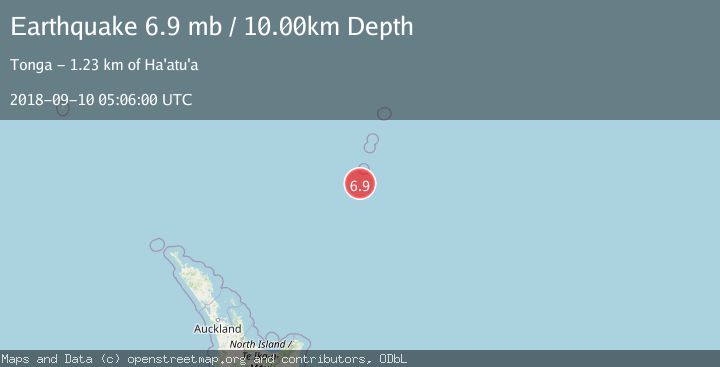
A 6.9 magnitude earthquake struck on KERMADEC ISLANDS REGION, at Mon, 10 Sep 2018 05:06:00 GMT. Depth: 10km. Reviewed by EMSC seismologists, this strong quake occurred at a magnitude type of mb.
Magnitude
6.9
mb
Source
EMSC
Intensity
-
Agency Reports
1 Sources| Source | Magnitude | Depth | Time |
|---|---|---|---|
| EMSCPrimary | 6.9 | 110 km | 7 years ago |
Earthquake Details
AutomaticEvent IDemsc_EMSC_20180910_0000027
Tsunami PotentialNo
Magnitude Typemb
Nearest Places
- L'Esperance Rock50.0 km
- Havre Rock59.0 km
- Star of Bengal Bank61.1 km
- Havre Trough66.3 km
- Speight Knoll81.8 km
Comments
Join the discussion about this event.
Latest Earthquakes
2.9Mag
OFFSHORE EL SALVADOR
Time14 minutes ago
Depth22.00 km
SourceINET (Automatic)
1.2Mag
EASTERN TURKEY
Time21 minutes ago
Depth7.00 km
SourceAFAD (Automatic)
1.7Mag
western Texas
Time22 minutes ago
Depth0.00 km
SourceVYT (Automatic)
2.2Mag
AEGEAN SEA
Time22 minutes ago
Depth16.50 km
SourceKOERI (Automatic)
1.8Mag
western Texas
Time29 minutes ago
Depth0.00 km
SourceVYT (Automatic)
Nearby Earthquakes
5.1Mag
KERMADEC ISLANDS REGION
Time14 years ago
Depth72.00 km
SourceEMSC (Automatic)
5.0Mag
KERMADEC ISLANDS REGION
Time2 years ago
Depth10.00 km
SourceEMSC (Automatic)
5.2Mag
KERMADEC ISLANDS REGION
Time2 years ago
Depth10.00 km
SourceEMSC (Automatic)
5.0Mag
KERMADEC ISLANDS REGION
Time12 years ago
Depth69.00 km
SourceNEIC (Automatic)
5.2Mag
KERMADEC ISLANDS REGION
Time12 years ago
Depth10.00 km
SourceEMSC (Automatic)