Earthquake MOLUCCA SEA
Tue, 04 Dec 2018 06:53:00 GMT
Time7 years ago
Location
2.3800, 126.8600
Depth
60.0 KM
Event Summary
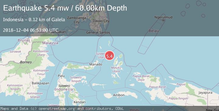
A 5.4 magnitude earthquake struck on MOLUCCA SEA, at Tue, 04 Dec 2018 06:53:00 GMT. Depth: 60km. Reviewed by EMSC seismologists, this moderate quake occurred at a magnitude type of mw.
Magnitude
5.4
mw
Source
EMSC
Intensity
-
Agency Reports
1 Sources| Source | Magnitude | Depth | Time |
|---|---|---|---|
| EMSCPrimary | 5.4 | 60 km | 7 years ago |
Earthquake Details
AutomaticEvent IDemsc_EMSC_20181204_0000036
Tsunami PotentialNo
Magnitude Typemw
Nearest Places
- Pulau Laba96.7 km
- Tanjung Gurama97.9 km
- Pulau Deherete98.6 km
- Nyi99.2 km
- Desa Jikolamo99.3 km
Comments
Join the discussion about this event.
Latest Earthquakes
2.6Mag
Java, Indonesia
Time11 minutes ago
Depth214.22 km
SourceBMKG
1.0Mag
Southeastern Alaska
Time11 minutes ago
Depth0.00 km
SourceVYT (Automatic)
3.5Mag
COOK STRAIT, NEW ZEALAND
Time12 minutes ago
Depth75.30 km
SourceGNS (Automatic)
2.5Mag
Seram, Indonesia
Time14 minutes ago
Depth21.28 km
SourceBMKG
2.6Mag
West Papua Region, Indonesia
Time17 minutes ago
Depth17.35 km
SourceBMKG
Nearby Earthquakes
4.0Mag
MOLUCCA SEA
Time3 months ago
Depth22.00 km
SourceBMKG (Automatic)
5.5Mag
MOLUCCA SEA
Time19 years ago
Depth10.00 km
SourceEMSC (Automatic)
3.4Mag
MOLUCCA SEA
Time1 month ago
Depth29.00 km
SourceBMKG (Automatic)
3.0Mag
MOLUCCA SEA
Time1 year ago
Depth10.00 km
SourceBMKG (Automatic)
5.0Mag
MOLUCCA SEA
Time6 years ago
Depth30.00 km
SourceEMSC (Automatic)