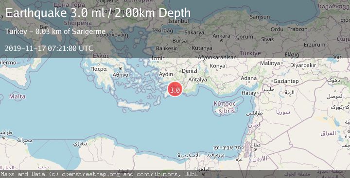
Earthquake DODECANESE IS.-TURKEY BORDER REG
Sun, 17 Nov 2019 07:21:00 GMT
Time6 years ago
Location
36.4700, 28.6600
Depth
2.0 KM
Event Summary
A 3.0 magnitude earthquake struck on DODECANESE IS.-TURKEY BORDER REG, at Sun, 17 Nov 2019 07:21:00 GMT. Depth: 2km. Reviewed by EMSC seismologists, this minor quake occurred at a magnitude type of ml.
Magnitude
3.0
ml
Source
EMSC
Intensity
-
Agency Reports
1 Sources| Source | Magnitude | Depth | Time |
|---|---|---|---|
| EMSCPrimary | 3.0 | 2 km | 6 years ago |
Earthquake Details
AutomaticEvent IDemsc_EMSC_20191117_0000043
Tsunami PotentialNo
Magnitude Typeml
Nearest Places
- Peksimet Adası18.2 km
- Nar Adası19.8 km
- Kurtoğlu Burnu21.2 km
- Güngörmez Burnu22.5 km
- Mount Suvela23.1 km
Comments
Join the discussion about this event.
Latest Earthquakes
2.8Mag
West Papua Region, Indonesia
Time3 minutes ago
Depth34.12 km
SourceBMKG
2.6Mag
Java, Indonesia
Time13 minutes ago
Depth214.22 km
SourceBMKG
1.0Mag
Southeastern Alaska
Time13 minutes ago
Depth0.00 km
SourceVYT (Automatic)
3.5Mag
COOK STRAIT, NEW ZEALAND
Time14 minutes ago
Depth75.30 km
SourceGNS (Automatic)
2.5Mag
Seram, Indonesia
Time16 minutes ago
Depth21.28 km
SourceBMKG
Nearby Earthquakes
3.0Mag
DODECANESE IS.-TURKEY BORDER REG
Time7 years ago
Depth8.00 km
SourceEMSC (Automatic)
3.0Mag
DODECANESE ISLANDS, GREECE
Time16 years ago
Depth8.00 km
SourceEMSC (Automatic)
3.0Mag
DODECANESE ISLANDS, GREECE
Time13 years ago
Depth15.00 km
SourceEMSC (Automatic)
3.0Mag
DODECANESE IS.-TURKEY BORDER REG
Time7 years ago
Depth2.00 km
SourceEMSC (Automatic)
3.0Mag
DODECANESE IS.-TURKEY BORDER REG
Time6 years ago
Depth2.00 km
SourceEMSC (Automatic)