Earthquake SOUTH OF SUMBAWA, INDONESIA
Mon, 06 Jan 2020 22:31:52 GMT
Time6 years ago
Location
-11.4200, 118.4400
Depth
10.0 KM
Event Summary
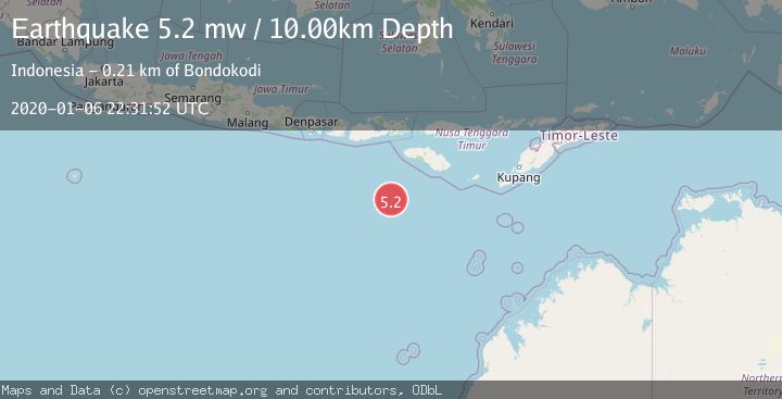
A 5.2 magnitude earthquake struck on SOUTH OF SUMBAWA, INDONESIA, at Mon, 06 Jan 2020 22:31:52 GMT. Depth: 10km. Reviewed by EMSC seismologists, this moderate quake occurred at a magnitude type of mw.
Magnitude
5.2
mw
Source
EMSC
Intensity
-
Agency Reports
1 Sources| Source | Magnitude | Depth | Time |
|---|---|---|---|
| EMSCPrimary | 5.2 | 10 km | 6 years ago |
Earthquake Details
AutomaticEvent IDemsc_EMSC_20200106_0000127
Tsunami PotentialNo
Magnitude Typemw
Nearest Places
- Corona Bank109.5 km
- Watu Kalode202.4 km
- Tanjung Rica202.4 km
- Tanjung Mareha202.5 km
- Tanjung Matogola202.5 km
Comments
Join the discussion about this event.
Latest Earthquakes
2.9Mag
northern Sumatra, Indonesia
Time1 minute ago
Depth4.52 km
SourceVYT (Automatic)
1.6Mag
Kenai Peninsula, Alaska
Time8 minutes ago
Depth42.60 km
SourceVYT (Automatic)
2.4Mag
Finland
Time11 minutes ago
Depth301.88 km
SourceVYT (Automatic)
1.2Mag
Alaska Peninsula
Time11 minutes ago
Depth0.12 km
SourceVYT (Automatic)
2.6Mag
SAN JUAN, ARGENTINA
Time12 minutes ago
Depth92.00 km
SourceNSNA (Automatic)
Nearby Earthquakes
4.0Mag
SOUTH OF SUMBAWA, INDONESIA
Time6 years ago
Depth10.00 km
SourceDJA (Automatic)
4.7Mag
SOUTH OF SUMBAWA, INDONESIA
Time1 month ago
Depth10.00 km
SourceEMSC (Automatic)
5.0Mag
SOUTH OF SUMBAWA, INDONESIA
Time19 years ago
Depth30.00 km
SourceEMSC (Automatic)
4.0Mag
SOUTH OF SUMBAWA, INDONESIA
Time3 years ago
Depth10.00 km
SourceDJA (Automatic)
5.8Mag
SOUTH OF SUMBAWA, INDONESIA
Time19 years ago
Depth10.00 km
SourceEMSC (Automatic)