Earthquake NEAR N COAST OF PAPUA, INDONESIA
Sat, 18 Jan 2020 16:38:14 GMT
Time6 years ago
Location
-2.8300, 139.3200
Depth
48.0 KM
Event Summary
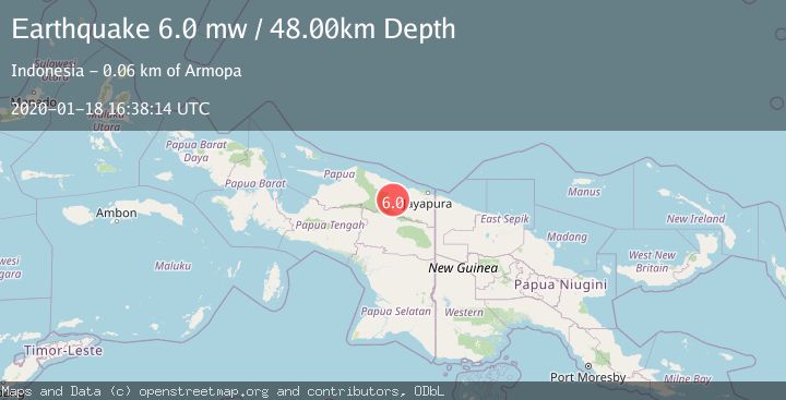
A 6.0 magnitude earthquake struck on NEAR N COAST OF PAPUA, INDONESIA, at Sat, 18 Jan 2020 16:38:14 GMT. Depth: 48km. Reviewed by EMSC seismologists, this strong quake occurred at a magnitude type of mw.
Magnitude
6.0
mw
Source
EMSC
Intensity
-
Agency Reports
1 Sources| Source | Magnitude | Depth | Time |
|---|---|---|---|
| EMSCPrimary | 6.0 | 48 km | 6 years ago |
Earthquake Details
AutomaticEvent IDemsc_EMSC_20200118_0000085
Tsunami PotentialNo
Magnitude Typemw
Nearest Places
- Distrik Pantai Timur9.1 km
- Kampung Komra10.7 km
- Kampung Krim Podena13.6 km
- Distrik Bonggo15.7 km
- Kampung Betaf Dua16.1 km
Comments
Join the discussion about this event.
Latest Earthquakes
3.2Mag
AEGEAN SEA
Time13 hours ago
Depth5.00 km
SourceNOA (Automatic)
1.5Mag
7 km NW of The Geysers, CA
Time13 hours ago
Depth2.48 km
SourceUSGS (Automatic)
2.3Mag
WESTERN TURKEY
Time13 hours ago
Depth8.70 km
SourceKOERI (Automatic)
0.6Mag
6 km WNW of Cobb, CA
Time13 hours ago
Depth1.68 km
SourceUSGS (Automatic)
2.1Mag
Southern Alaska
Time13 hours ago
Depth27.59 km
SourceVYT (Automatic)
Nearby Earthquakes
5.7Mag
NEAR N COAST OF PAPUA, INDONESIA
Time17 years ago
Depth40.00 km
SourceEMSC (Automatic)
2.2Mag
Near North Coast of West Papua
Time2 weeks ago
Depth76.71 km
SourceBMKG (Automatic)
3.0Mag
NEAR N COAST OF PAPUA, INDONESIA
Time5 years ago
Depth14.00 km
SourceDJA (Automatic)
3.0Mag
NEAR N COAST OF PAPUA, INDONESIA
Time5 months ago
Depth42.00 km
SourceBMKG (Automatic)
2.7Mag
NEAR N COAST OF PAPUA, INDONESIA
Time5 days ago
Depth119.00 km
SourceBMKG (Automatic)