Earthquake KERMADEC ISLANDS REGION
Sat, 08 Feb 2020 20:50:51 GMT
Time6 years ago
Location
-31.9700, -178.5300
Depth
16.0 KM
Event Summary
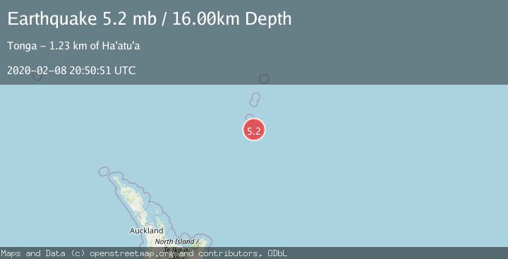
A 5.2 magnitude earthquake struck on KERMADEC ISLANDS REGION, at Sat, 08 Feb 2020 20:50:51 GMT. Depth: 16km. Reviewed by EMSC seismologists, this moderate quake occurred at a magnitude type of mb.
Magnitude
5.2
mb
Source
EMSC
Intensity
-
Agency Reports
1 Sources| Source | Magnitude | Depth | Time |
|---|---|---|---|
| EMSCPrimary | 5.2 | 16 km | 6 years ago |
Earthquake Details
AutomaticEvent IDemsc_EMSC_20200208_0000218
Tsunami PotentialNo
Magnitude Typemb
Nearest Places
- L'Esperance Rock69.2 km
- Star of Bengal Bank73.1 km
- Havre Rock82.0 km
- Havre Trough105.6 km
- Havre Seamount108.7 km
Comments
Join the discussion about this event.
Latest Earthquakes
1.8Mag
Southeastern Alaska
Time1 minute ago
Depth0.00 km
SourceVYT (Automatic)
2.1Mag
northern Alaska
Time2 minutes ago
Depth206.30 km
SourceVYT (Automatic)
2.7Mag
Alaska Peninsula
Time14 minutes ago
Depth7.08 km
SourceVYT (Automatic)
2.4Mag
HAWAII REGION, HAWAII
Time15 minutes ago
Depth11.20 km
SourceHV (Automatic)
3.1Mag
Potosi, Bolivia
Time19 minutes ago
Depth330.08 km
SourceVYT (Automatic)
Nearby Earthquakes
5.1Mag
KERMADEC ISLANDS REGION
Time7 years ago
Depth10.00 km
SourceEMSC (Automatic)
5.2Mag
SOUTH OF KERMADEC ISLANDS
Time17 years ago
Depth2.00 km
SourceEMSC (Automatic)
5.1Mag
KERMADEC ISLANDS REGION
Time8 years ago
Depth30.00 km
SourceEMSC (Automatic)
5.2Mag
SOUTH OF KERMADEC ISLANDS
Time19 years ago
Depth33.00 km
SourceEMSC (Automatic)
4.4Mag
KERMADEC ISLANDS REGION
Time3 weeks ago
Depth35.00 km
SourceNEIC (Automatic)