Earthquake SOUTHERN SUMATRA, INDONESIA
Sat, 22 Aug 2020 00:39:36 GMT
Time5 years ago
Location
-4.0100, 101.0900
Depth
30.0 KM
Event Summary
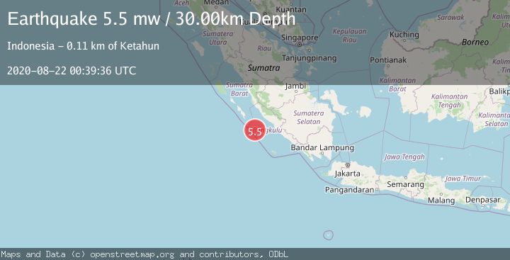
A 5.5 magnitude earthquake struck on SOUTHERN SUMATRA, INDONESIA, at Sat, 22 Aug 2020 00:39:36 GMT. Depth: 30km. Reviewed by EMSC seismologists, this moderate quake occurred at a magnitude type of mw.
Magnitude
5.5
mw
Source
EMSC
Intensity
-
Agency Reports
1 Sources| Source | Magnitude | Depth | Time |
|---|---|---|---|
| EMSCPrimary | 5.5 | 30 km | 5 years ago |
Earthquake Details
AutomaticEvent IDemsc_EMSC_20200822_0000004
Tsunami PotentialNo
Magnitude Typemw
Nearest Places
- Pulau Mega6.4 km
- Mentawai Trough45.5 km
- Pulau Sanding76.9 km
- Pulau Situpai77.3 km
- Europa Reefs82.5 km
Comments
Join the discussion about this event.
Latest Earthquakes
1.7Mag
STRAIT OF GIBRALTAR
Time8 minutes ago
Depth15.80 km
SourceIGN (Automatic)
3.2Mag
Croatia-Bosnia and Herzegovina border region
Time12 minutes ago
Depth63.84 km
SourceVYT (Automatic)
1.0Mag
Southern Alaska
Time17 minutes ago
Depth13.43 km
SourceVYT (Automatic)
2.7Mag
Southeastern Alaska
Time17 minutes ago
Depth138.92 km
SourceVYT (Automatic)
1.7Mag
8 km ENE of Calumet, Oklahoma
Time18 minutes ago
Depth6.03 km
SourceUSGS (Automatic)
Nearby Earthquakes
5.2Mag
SOUTHERN SUMATRA, INDONESIA
Time18 years ago
Depth40.00 km
SourceEMSC (Automatic)
6.5Mag
SOUTHERN SUMATRA, INDONESIA
Time15 years ago
Depth30.00 km
SourceEMSC (Automatic)
6.4Mag
SOUTHERN SUMATRA, INDONESIA
Time18 years ago
Depth30.00 km
SourceEMSC (Automatic)
5.1Mag
KEP. MENTAWAI REGION, INDONESIA
Time18 years ago
Depth40.00 km
SourceEMSC (Automatic)
4.0Mag
KEP. MENTAWAI REGION, INDONESIA
Time6 years ago
Depth10.00 km
SourceDJA (Automatic)