Earthquake SOUTH OF KERMADEC ISLANDS
Thu, 10 Dec 2020 20:42:08 GMT
Time5 years ago
Location
-33.0300, -179.7200
Depth
100.0 KM
Event Summary
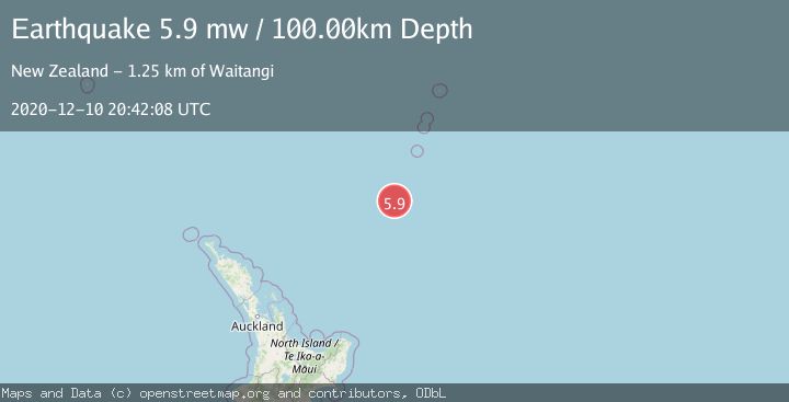
A 5.9 magnitude earthquake struck on SOUTH OF KERMADEC ISLANDS, at Thu, 10 Dec 2020 20:42:08 GMT. Depth: 100km. Reviewed by EMSC seismologists, this moderate quake occurred at a magnitude type of mw.
Magnitude
5.9
mw
Source
EMSC
Intensity
-
Agency Reports
1 Sources| Source | Magnitude | Depth | Time |
|---|---|---|---|
| EMSCPrimary | 5.9 | 100 km | 5 years ago |
Earthquake Details
AutomaticEvent IDemsc_EMSC_20201210_0000185
Tsunami PotentialNo
Magnitude Typemw
Nearest Places
- Kuiwai Seamount23.9 km
- Haungaroa Seamount46.2 km
- Oliver Knoll70.8 km
- Speight Knoll72.5 km
- Star of Bengal Bank89.5 km
Comments
Join the discussion about this event.
Latest Earthquakes
1.7Mag
British Columbia, Canada
Time3 minutes ago
Depth15.99 km
SourceVYT (Automatic)
1.7Mag
7 km SSE of Pāhala, Hawaii
Time4 minutes ago
Depth43.23 km
SourceUSGS (Automatic)
1.6Mag
36 km NNW of Mentone, Texas
Time7 minutes ago
Depth7.26 km
SourceUSGS (Automatic)
2.8Mag
South Australia
Time7 minutes ago
Depth10.00 km
SourceVYT (Automatic)
2.4Mag
Finland-Russia border region
Time7 minutes ago
Depth0.00 km
SourceVYT (Automatic)
Nearby Earthquakes
5.1Mag
SOUTH OF KERMADEC ISLANDS
Time4 years ago
Depth69.00 km
SourceEMSC (Automatic)
5.5Mag
SOUTH OF KERMADEC ISLANDS
Time6 years ago
Depth129.00 km
SourceEMSC (Automatic)
5.2Mag
SOUTH OF KERMADEC ISLANDS
Time16 years ago
Depth47.00 km
SourceEMSC (Automatic)
5.3Mag
SOUTH OF KERMADEC ISLANDS
Time19 years ago
Depth40.00 km
SourceEMSC (Automatic)
5.6Mag
SOUTH OF KERMADEC ISLANDS
Time7 years ago
Depth10.00 km
SourceEMSC (Automatic)