Earthquake SUNDA STRAIT, INDONESIA
Sat, 16 Jan 2021 09:26:43 GMT
Time5 years ago
Location
-6.3300, 104.0000
Depth
30.0 KM
Event Summary
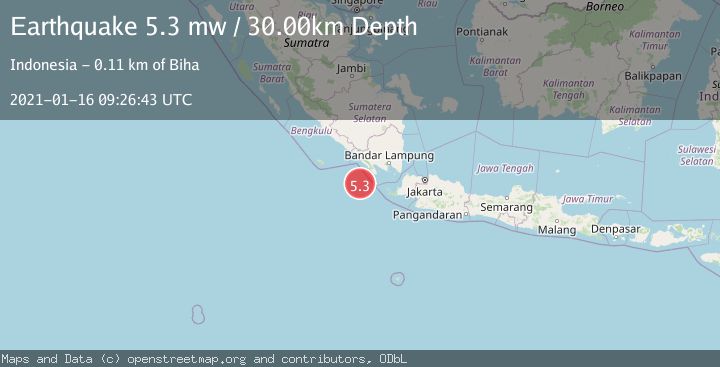
A 5.3 magnitude earthquake struck on SUNDA STRAIT, INDONESIA, at Sat, 16 Jan 2021 09:26:43 GMT. Depth: 30km. Reviewed by EMSC seismologists, this moderate quake occurred at a magnitude type of mw.
Magnitude
5.3
mw
Source
EMSC
Intensity
-
Agency Reports
1 Sources| Source | Magnitude | Depth | Time |
|---|---|---|---|
| EMSCPrimary | 5.3 | 30 km | 5 years ago |
Earthquake Details
AutomaticEvent IDemsc_EMSC_20210116_0000092
Tsunami PotentialNo
Magnitude Typemw
Nearest Places
- Enggano Basin45.9 km
- Tanjung Cuku Balimbing56.3 km
- Pulau Betuah69.0 km
- Cuku Belimbing76.9 km
- Belimbing77.0 km
Comments
Join the discussion about this event.
Latest Earthquakes
0.7Mag
8 km NW of The Geysers, CA
Time6 minutes ago
Depth1.59 km
SourceUSGS (Automatic)
1.2Mag
Southern Alaska
Time8 minutes ago
Depth16.72 km
SourceVYT (Automatic)
1.6Mag
49 km W of Mentone, Texas
Time8 minutes ago
Depth4.59 km
SourceUSGS (Automatic)
3.1Mag
northern Colombia
Time10 minutes ago
Depth219.97 km
SourceVYT (Automatic)
2.2Mag
Sumbawa Region, Indonesia
Time12 minutes ago
Depth15.54 km
SourceBMKG
Nearby Earthquakes
5.8Mag
SOUTHWEST OF SUMATRA, INDONESIA
Time15 years ago
Depth40.00 km
SourceEMSC (Automatic)
5.4Mag
SUNDA STRAIT, INDONESIA
Time15 years ago
Depth53.00 km
SourceEMSC (Automatic)
5.2Mag
SUNDA STRAIT, INDONESIA
Time7 years ago
Depth60.00 km
SourceEMSC (Automatic)
5.3Mag
SOUTHWEST OF SUMATRA, INDONESIA
Time15 years ago
Depth48.00 km
SourceEMSC (Automatic)
2.7Mag
SUNDA STRAIT, INDONESIA
Time1 month ago
Depth17.00 km
SourceBMKG (Automatic)