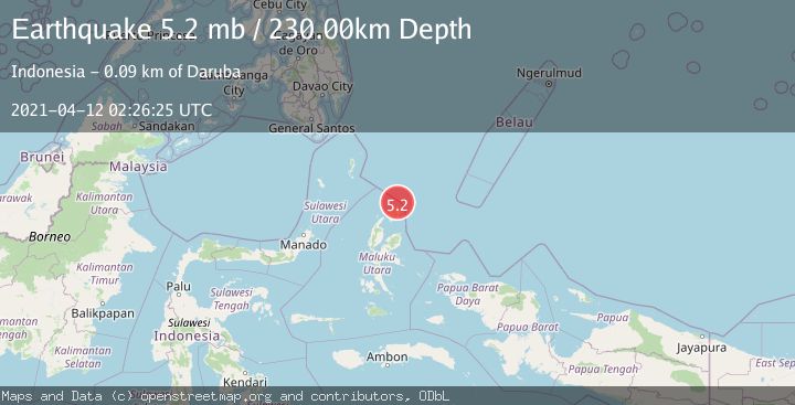
Earthquake HALMAHERA, INDONESIA
Mon, 12 Apr 2021 02:26:25 GMT
Time4 years ago
Location
2.7900, 128.5900
Depth
230.0 KM
Event Summary
A 5.2 magnitude earthquake struck on HALMAHERA, INDONESIA, at Mon, 12 Apr 2021 02:26:25 GMT. Depth: 230km. Reviewed by EMSC seismologists, this moderate quake occurred at a magnitude type of mb.
Magnitude
5.2
mb
Source
EMSC
Intensity
-
Agency Reports
1 Sources| Source | Magnitude | Depth | Time |
|---|---|---|---|
| EMSCPrimary | 5.2 | 230 km | 4 years ago |
Earthquake Details
AutomaticEvent IDemsc_EMSC_20210412_0000014
Tsunami PotentialNo
Magnitude Typemb
Nearest Places
- Tanjung Sopi16.5 km
- Kakaibabao18.1 km
- Papuamalolu19.5 km
- Tanjung Modiu20.1 km
- Desa Loleo22.8 km
Comments
Join the discussion about this event.
Latest Earthquakes
1.9Mag
Antofagasta, Chile
Time1 minute ago
Depth11.84 km
SourceVYT (Automatic)
1.2Mag
63 km WNW of Toyah, Texas
Time3 minutes ago
Depth0.08 km
SourceUSGS (Automatic)
1.4Mag
12 km SSW of Salton City, CA
Time7 minutes ago
Depth5.74 km
SourceUSGS (Automatic)
1.2Mag
Southern Alaska
Time12 minutes ago
Depth37.11 km
SourceVYT (Automatic)
3.0Mag
Seram, Indonesia
Time12 minutes ago
Depth12.36 km
SourceBMKG
Nearby Earthquakes
5.1Mag
HALMAHERA, INDONESIA
Time14 years ago
Depth217.00 km
SourceEMSC (Automatic)
5.0Mag
HALMAHERA, INDONESIA
Time6 years ago
Depth230.00 km
SourceEMSC (Automatic)
3.3Mag
HALMAHERA, INDONESIA
Time0 months ago
Depth211.00 km
SourceBMKG (Automatic)
5.1Mag
HALMAHERA, INDONESIA
Time3 years ago
Depth228.00 km
SourceEMSC (Automatic)
3.1Mag
Halmahera, Indonesia
Time2 weeks ago
Depth217.68 km
SourceBMKG (Automatic)