Earthquake MYANMAR-INDIA BORDER REGION
Thu, 25 Nov 2021 23:45:40 GMT
Time4 years ago
Location
22.8000, 93.5700
Depth
33.0 KM
Event Summary
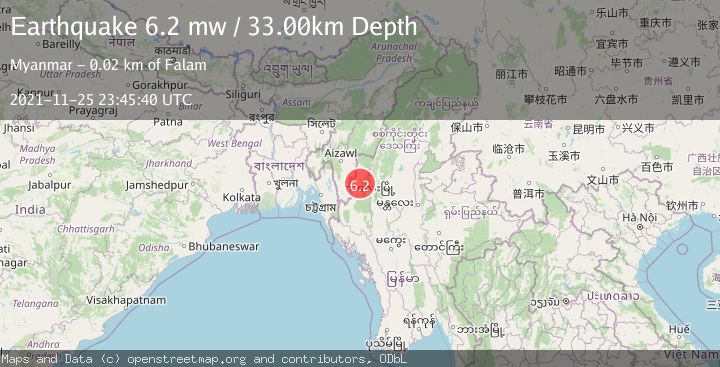
A 6.2 magnitude earthquake struck on MYANMAR-INDIA BORDER REGION, at Thu, 25 Nov 2021 23:45:40 GMT. Depth: 33km. Reviewed by EMSC seismologists, this strong quake occurred at a magnitude type of mw.
Magnitude
6.2
mw
Source
EMSC
Intensity
-
Agency Reports
1 Sources| Source | Magnitude | Depth | Time |
|---|---|---|---|
| EMSCPrimary | 6.2 | 33 km | 4 years ago |
Earthquake Details
AutomaticEvent IDemsc_EMSC_20211125_0000234
Tsunami PotentialNo
Magnitude Typemw
Comments
Join the discussion about this event.
Latest Earthquakes
2.0Mag
Central California
Time18 hours ago
Depth0.00 km
SourceVYT (Automatic)
1.0Mag
6 km NW of The Geysers, CA
Time18 hours ago
Depth2.64 km
SourceUSGS (Automatic)
2.0Mag
SWEDEN
Time18 hours ago
Depth12.20 km
SourceSNSN (Automatic)
3.0Mag
DODECANESE ISLANDS, GREECE
Time18 hours ago
Depth10.00 km
SourceNOA (Automatic)
3.2Mag
Southeastern Alaska
Time18 hours ago
Depth0.00 km
SourceVYT (Automatic)
Nearby Earthquakes
3.6Mag
MYANMAR-INDIA BORDER REGION
Time3 weeks ago
Depth60.00 km
SourceNDI (Automatic)
5.0Mag
MYANMAR-INDIA BORDER REGION
Time5 years ago
Depth60.00 km
SourceEMSC (Automatic)
5.4Mag
MYANMAR-INDIA BORDER REGION
Time4 years ago
Depth57.00 km
SourceEMSC (Automatic)
4.0Mag
MYANMAR-INDIA BORDER REGION
Time5 years ago
Depth35.00 km
SourceGFZ (Automatic)
3.9Mag
MYANMAR-INDIA BORDER REGION
Time3 weeks ago
Depth94.90 km
SourceNDI (Automatic)