Earthquake MYANMAR-INDIA BORDER REGION
Fri, 17 Apr 2020 15:50:11 GMT
Time5 years ago
Location
22.6000, 93.8400
Depth
35.0 KM
Event Summary
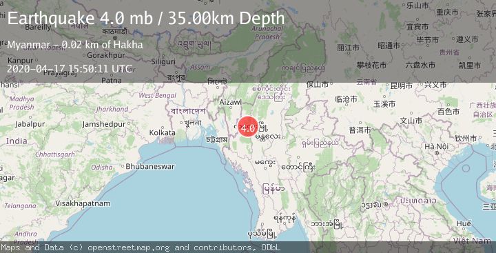
A 4.0 magnitude earthquake struck on MYANMAR-INDIA BORDER REGION, at Fri, 17 Apr 2020 15:50:11 GMT. Depth: 35km. Reviewed by GFZ seismologists, this light quake occurred at a magnitude type of mb.
Magnitude
4.0
mb
Source
GFZ
Intensity
-
Agency Reports
1 Sources| Source | Magnitude | Depth | Time |
|---|---|---|---|
| GFZPrimary | 4.0 | 35 km | 5 years ago |
Earthquake Details
AutomaticEvent IDemsc_GFZ_20200417_0000132
Tsunami PotentialNo
Magnitude Typemb
Nearest Places
- 2.8 km
- 3.8 km
- 1Ruan4.2 km
- 4.5 km
- 5.7 km
Comments
Join the discussion about this event.
Latest Earthquakes
2.1Mag
Sulawesi, Indonesia
Time3 hours ago
Depth3.77 km
SourceBMKG
2.4Mag
Fox Islands, Aleutian Islands, Alaska
Time3 hours ago
Depth17.70 km
SourceVYT (Automatic)
1.1Mag
1 km NNW of The Geysers, CA
Time3 hours ago
Depth2.02 km
SourceUSGS (Automatic)
1.2Mag
6 km S of Carpinteria, CA
Time3 hours ago
Depth9.91 km
SourceUSGS (Automatic)
3.1Mag
northern Colombia
Time3 hours ago
Depth187.62 km
SourceVYT (Automatic)
Nearby Earthquakes
3.6Mag
MYANMAR-INDIA BORDER REGION
Time3 weeks ago
Depth60.00 km
SourceNDI (Automatic)
3.9Mag
MYANMAR-INDIA BORDER REGION
Time3 weeks ago
Depth94.90 km
SourceNDI (Automatic)
5.9Mag
MYANMAR
Time5 years ago
Depth20.00 km
SourceEMSC (Automatic)
6.2Mag
MYANMAR-INDIA BORDER REGION
Time4 years ago
Depth33.00 km
SourceEMSC (Automatic)
3.7Mag
MYANMAR
Time4 days ago
Depth70.00 km
SourceNDI (Automatic)