Earthquake KEPULAUAN BARAT DAYA, INDONESIA
Wed, 29 Dec 2021 18:25:52 GMT
Time4 years ago
Location
-7.5300, 127.5700
Depth
170.0 KM
Event Summary
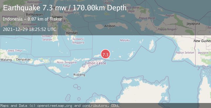
A 7.3 magnitude earthquake struck on KEPULAUAN BARAT DAYA, INDONESIA, at Wed, 29 Dec 2021 18:25:52 GMT. Depth: 170km. Reviewed by EMSC seismologists, this major quake occurred at a magnitude type of mw.
Magnitude
7.3
mw
Source
EMSC
Intensity
-
Agency Reports
1 Sources| Source | Magnitude | Depth | Time |
|---|---|---|---|
| EMSCPrimary | 7.3 | 170 km | 4 years ago |
Earthquake Details
AutomaticEvent IDemsc_EMSC_20211229_0000158
Tsunami PotentialNo
Magnitude Typemw
Nearest Places
- Pulau Laut2.2 km
- Pulau Kital2.3 km
- Pulau Limutu2.5 km
- Pulau Telang3.3 km
- Pulau Maopora7.2 km
Comments
Join the discussion about this event.
Latest Earthquakes
0.9Mag
81 km NNW of Karluk, Alaska
Time8 minutes ago
Depth34.10 km
SourceUSGS (Automatic)
1.5Mag
Tarapaca, Chile
Time18 minutes ago
Depth32.84 km
SourceVYT (Automatic)
2.4Mag
Potosi, Bolivia
Time21 minutes ago
Depth239.01 km
SourceVYT (Automatic)
2.3Mag
Minahassa Peninsula, Sulawesi
Time21 minutes ago
Depth146.04 km
SourceBMKG
1.3Mag
29 km W of Garden City, Texas
Time27 minutes ago
Depth3.35 km
SourceUSGS (Automatic)
Nearby Earthquakes
4.0Mag
KEPULAUAN BARAT DAYA, INDONESIA
Time3 years ago
Depth146.00 km
SourceNEIC (Automatic)
5.1Mag
KEPULAUAN BARAT DAYA, INDONESIA
Time19 years ago
Depth136.00 km
SourceEMSC (Automatic)
5.5Mag
KEPULAUAN BARAT DAYA, INDONESIA
Time18 years ago
Depth150.00 km
SourceEMSC (Automatic)
4.5Mag
KEPULAUAN BARAT DAYA, INDONESIA
Time1 month ago
Depth137.80 km
SourceNEIC (Automatic)
5.8Mag
KEPULAUAN BARAT DAYA, INDONESIA
Time18 years ago
Depth179.00 km
SourceEMSC (Automatic)