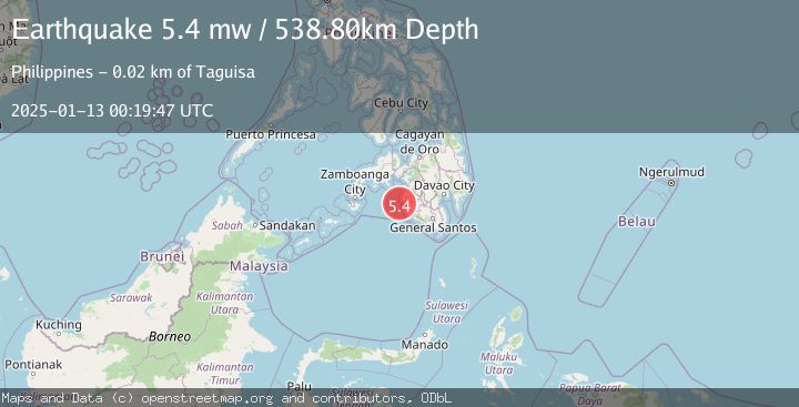
Earthquake MORO GULF, MINDANAO, PHILIPPINES
Mon, 13 Jan 2025 00:19:47 GMT
Time1 year ago
Location
6.6865, 123.8381
Depth
538.8 KM
Event Summary
A 5.4 magnitude earthquake struck on MORO GULF, MINDANAO, PHILIPPINES, at Mon, 13 Jan 2025 00:19:47 GMT. Depth: 538.8km. Reviewed by EMSC seismologists, this moderate quake occurred at a magnitude type of mw.
Magnitude
5.4
mw
Source
EMSC
Intensity
-
Agency Reports
1 Sources| Source | Magnitude | Depth | Time |
|---|---|---|---|
| EMSCPrimary | 5.4 | 539 km | 1 year ago |
Earthquake Details
AutomaticEvent IDemsc_EMSC_20250113_0000002
Tsunami PotentialNo
Magnitude Typemw
Nearest Places
- Huidobro Reef14.0 km
- Linao Point17.4 km
- Salpa Point17.8 km
- Pitas18.1 km
- Sadam Bay18.2 km
Comments
Join the discussion about this event.
Latest Earthquakes
2.3Mag
Poland
Time39 minutes ago
Depth0.49 km
SourceVYT (Automatic)
1.7Mag
Java, Indonesia
Time42 minutes ago
Depth5.98 km
SourceVYT (Automatic)
2.5Mag
SPAIN
Time48 minutes ago
Depth2.90 km
SourceIGN (Automatic)
2.5Mag
West Papua Region, Indonesia
Time48 minutes ago
Depth12.37 km
SourceBMKG
2.6Mag
Antofagasta, Chile
Time49 minutes ago
Depth116.33 km
SourceVYT (Automatic)
Nearby Earthquakes
5.0Mag
MORO GULF, MINDANAO, PHILIPPINES
Time6 years ago
Depth10.00 km
SourceDJA (Automatic)
5.2Mag
MORO GULF, MINDANAO, PHILIPPINES
Time18 years ago
Depth570.00 km
SourceEMSC (Automatic)
5.0Mag
MORO GULF, MINDANAO, PHILIPPINES
Time14 years ago
Depth580.00 km
SourceEMSC (Automatic)
3.1Mag
MORO GULF, MINDANAO, PHILIPPINES
Time2 weeks ago
Depth20.00 km
SourcePIVS (Automatic)
2.0Mag
Mindanao, Philippines
Time3 weeks ago
Depth13.00 km
SourceMAN (Automatic)