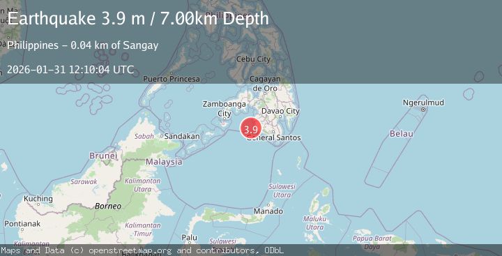
Earthquake MORO GULF, MINDANAO, PHILIPPINES
Sat, 31 Jan 2026 11:47:38 GMT
Time2 weeks ago
Location
6.6500, 123.7900
Depth
20.0 KM
Event Summary
A 3.1 magnitude earthquake struck on MORO GULF, MINDANAO, PHILIPPINES, at Sat, 31 Jan 2026 11:47:38 GMT. Depth: 20km. Reviewed by PIVS seismologists, this minor quake occurred at a magnitude type of m.
Magnitude
3.1
m
Source
PIVS
Intensity
-
Agency Reports
1 Sources| Source | Magnitude | Depth | Time |
|---|---|---|---|
| PIVSPrimary | 3.1 | 20 km | 2 weeks ago |
Earthquake Details
AutomaticEvent IDemsc_PIVS_20260131_0000177
Tsunami PotentialNo
Magnitude Typem
Nearest Places
- Huidobro Reef20.7 km
- Linao Point24.1 km
- Salpa Point24.4 km
- Pitas24.7 km
- Sadam Bay24.9 km
Comments
Join the discussion about this event.
Latest Earthquakes
1.9Mag
Tarapaca, Chile
Time5 minutes ago
Depth0.00 km
SourceVYT (Automatic)
1.0Mag
11 km SW of Anza, CA
Time7 minutes ago
Depth8.49 km
SourceUSGS (Automatic)
3.3Mag
West Papua, Indonesia
Time21 minutes ago
Depth10.00 km
SourceBMKG
2.4Mag
Sumbawa Region, Indonesia
Time23 minutes ago
Depth24.94 km
SourceBMKG
2.2Mag
Tarapaca, Chile
Time31 minutes ago
Depth53.71 km
SourceVYT (Automatic)
Nearby Earthquakes
2.0Mag
Mindanao, Philippines
Time3 weeks ago
Depth13.00 km
SourceMAN (Automatic)
5.0Mag
MORO GULF, MINDANAO, PHILIPPINES
Time14 years ago
Depth580.00 km
SourceEMSC (Automatic)
3.0Mag
MORO GULF, MINDANAO, PHILIPPINES
Time3 weeks ago
Depth9.00 km
SourcePIVS (Automatic)
3.0Mag
MORO GULF, MINDANAO, PHILIPPINES
Time3 years ago
Depth28.00 km
SourcePIVS (Automatic)
5.4Mag
MORO GULF, MINDANAO, PHILIPPINES
Time1 year ago
Depth538.80 km
SourceEMSC (Automatic)