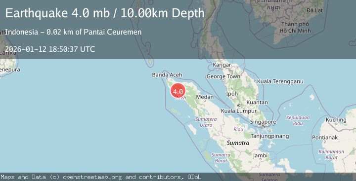
Earthquake NORTHERN SUMATRA, INDONESIA
Mon, 12 Jan 2026 18:50:37 GMT
Time1 month ago
Location
4.4886, 96.2939
Depth
10.0 KM
Event Summary
A 4.0 magnitude earthquake struck on NORTHERN SUMATRA, INDONESIA, at Mon, 12 Jan 2026 18:50:37 GMT. Depth: 10km. Reviewed by EMSC seismologists, this light quake occurred at a magnitude type of mb.
Magnitude
4.0
mb
Source
EMSC
Intensity
-
Agency Reports
1 Sources| Source | Magnitude | Depth | Time |
|---|---|---|---|
| EMSCPrimary | 4.0 | 10 km | 1 month ago |
Earthquake Details
AutomaticEvent IDemsc_EMSC_20260112_0000295
Tsunami PotentialNo
Magnitude Typemb
Nearest Places
- Alue Pasian1.7 km
- Balemeuko2.3 km
- Alue Sibeudt3.1 km
- Krueng Peunagahan3.8 km
- Gampong Lawet4.2 km
Comments
Join the discussion about this event.
Latest Earthquakes
1.4Mag
Central Alaska
Time5 minutes ago
Depth0.00 km
SourceVYT (Automatic)
1.4Mag
western Texas
Time7 minutes ago
Depth6.84 km
SourceVYT (Automatic)
1.3Mag
Southern Alaska
Time7 minutes ago
Depth96.80 km
SourceVYT (Automatic)
2.2Mag
Java, Indonesia
Time8 minutes ago
Depth97.25 km
SourceBMKG
2.9Mag
Ceram Sea
Time8 minutes ago
Depth12.69 km
SourceBMKG
Nearby Earthquakes
3.0Mag
NORTHERN SUMATRA, INDONESIA
Time3 years ago
Depth10.00 km
SourceDJA (Automatic)
2.5Mag
Northern Sumatra, Indonesia
Time2 weeks ago
Depth7.53 km
SourceBMKG (Automatic)
2.3Mag
Northern Sumatra, Indonesia
Time1 day ago
Depth5.22 km
SourceBMKG
5.3Mag
NORTHERN SUMATRA, INDONESIA
Time14 years ago
Depth10.00 km
SourceEMSC (Automatic)
2.4Mag
Northern Sumatra, Indonesia
Time12 hours ago
Depth7.72 km
SourceBMKG