Earthquake NEAR N COAST OF PAPUA, INDONESIA
Mon, 12 Jan 2026 19:18:05 GMT
Time1 month ago
Location
-2.9582, 139.5937
Depth
50.0 KM
Event Summary
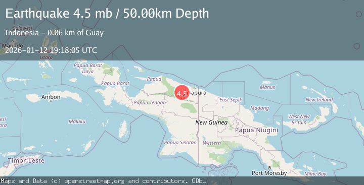
A 4.5 magnitude earthquake struck on NEAR N COAST OF PAPUA, INDONESIA, at Mon, 12 Jan 2026 19:18:05 GMT. Depth: 50km. Reviewed by EMSC seismologists, this light quake occurred at a magnitude type of mb.
Magnitude
4.5
mb
Source
EMSC
Intensity
-
Agency Reports
1 Sources| Source | Magnitude | Depth | Time |
|---|---|---|---|
| EMSCPrimary | 4.5 | 50 km | 1 month ago |
Earthquake Details
AutomaticEvent IDemsc_EMSC_20260112_0000304
Tsunami PotentialNo
Magnitude Typemb
Nearest Places
- Kampung Tetom7.5 km
- Barito10.7 km
- Kampung Kiren12.6 km
- Kampung Umbron19.7 km
- Distrik Bonggo21.0 km
Comments
Join the discussion about this event.
Latest Earthquakes
2.0Mag
Central California
Time21 hours ago
Depth0.00 km
SourceVYT (Automatic)
0.7Mag
4 km NW of The Geysers, CA
Time21 hours ago
Depth3.05 km
SourceUSGS (Automatic)
2.7Mag
northern Colombia
Time21 hours ago
Depth73.00 km
SourceVYT (Automatic)
1.8Mag
2 km SW of Pāhala, Hawaii
Time21 hours ago
Depth29.79 km
SourceUSGS (Automatic)
1.0Mag
4 km W of Lake Henshaw, CA
Time21 hours ago
Depth12.06 km
SourceUSGS (Automatic)
Nearby Earthquakes
5.1Mag
NEAR N COAST OF PAPUA, INDONESIA
Time4 years ago
Depth110.00 km
SourceEMSC (Automatic)
5.9Mag
NEAR N COAST OF PAPUA, INDONESIA
Time16 years ago
Depth96.00 km
SourceEMSC (Automatic)
3.7Mag
Near North Coast of West Papua
Time5 days ago
Depth8.00 km
SourceBMKG
2.6Mag
NEAR N COAST OF PAPUA, INDONESIA
Time1 month ago
Depth6.00 km
SourceBMKG (Automatic)
3.0Mag
NEAR N COAST OF PAPUA, INDONESIA
Time5 years ago
Depth52.00 km
SourceDJA (Automatic)