Earthquake Near North Coast of West Papua
Fri, 13 Feb 2026 20:45:18 GMT
Time4 days ago
Location
-2.8870, 139.5789
Depth
8.0 KM
Event Summary
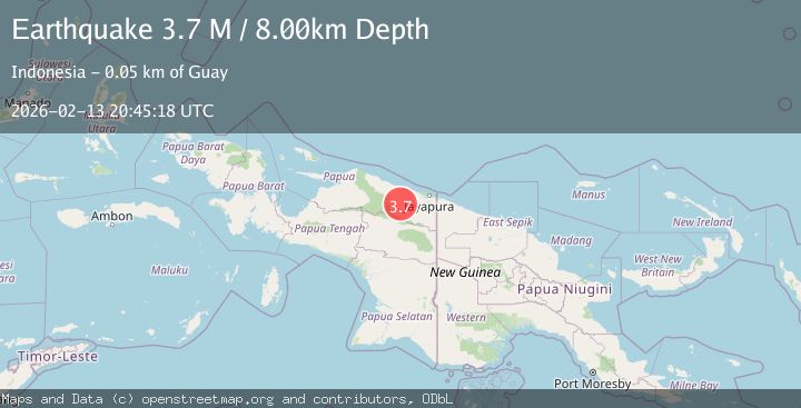
A 3.7 magnitude earthquake struck on Near North Coast of West Papua, at Fri, 13 Feb 2026 20:45:18 GMT. Depth: 8km. Reviewed by BMKG seismologists, this minor quake occurred at a magnitude type of M.
Magnitude
3.7
M
Source
BMKG
Intensity
-
Agency Reports
1 Sources| Source | Magnitude | Depth | Time |
|---|---|---|---|
| BMKGPrimary | 3.7 | 8 km | 4 days ago |
Earthquake Details
ManualEvent IDbmg2026dcds
Tsunami PotentialNo
Magnitude TypeM
Nearest Places
- Kampung Tetom8.6 km
- Kampung Kiren12.3 km
- Barito14.4 km
- Distrik Bonggo14.8 km
- Sungai Wirubeteknala19.6 km
Comments
Join the discussion about this event.
Latest Earthquakes
1.4Mag
4 km W of Lake Henshaw, CA
Time18 hours ago
Depth12.37 km
SourceUSGS (Automatic)
1.6Mag
41 km NW of Toyah, Texas
Time18 hours ago
Depth3.46 km
SourceUSGS (Automatic)
0.7Mag
6 km WNW of Cobb, CA
Time18 hours ago
Depth-0.59 km
SourceUSGS (Automatic)
1.0Mag
Southern Alaska
Time18 hours ago
Depth0.12 km
SourceVYT (Automatic)
2.1Mag
Sumbawa Region, Indonesia
Time18 hours ago
Depth21.86 km
SourceBMKG
Nearby Earthquakes
3.0Mag
NEAR N COAST OF PAPUA, INDONESIA
Time5 years ago
Depth52.00 km
SourceDJA (Automatic)
4.5Mag
NEAR N COAST OF PAPUA, INDONESIA
Time1 month ago
Depth50.00 km
SourceEMSC (Automatic)
2.6Mag
NEAR N COAST OF PAPUA, INDONESIA
Time1 month ago
Depth6.00 km
SourceBMKG (Automatic)
5.1Mag
NEAR N COAST OF PAPUA, INDONESIA
Time4 years ago
Depth110.00 km
SourceEMSC (Automatic)
5.9Mag
NEAR N COAST OF PAPUA, INDONESIA
Time16 years ago
Depth96.00 km
SourceEMSC (Automatic)