Earthquake NEAR N COAST OF PAPUA, INDONESIA
Tue, 13 Jan 2026 15:35:58 GMT
Time1 month ago
Location
-2.9100, 139.6500
Depth
6.0 KM
Event Summary
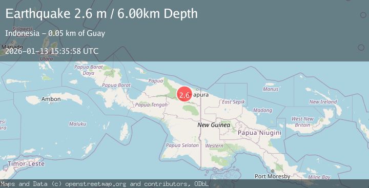
A 2.6 magnitude earthquake struck on NEAR N COAST OF PAPUA, INDONESIA, at Tue, 13 Jan 2026 15:35:58 GMT. Depth: 6km. Reviewed by BMKG seismologists, this minor quake occurred at a magnitude type of m.
Magnitude
2.6
m
Source
BMKG
Intensity
-
Agency Reports
1 Sources| Source | Magnitude | Depth | Time |
|---|---|---|---|
| BMKGPrimary | 2.6 | 6 km | 1 month ago |
Earthquake Details
AutomaticEvent IDemsc_BMKG_20260113_0000232
Tsunami PotentialNo
Magnitude Typem
Nearest Places
- Barito6.6 km
- Kampung Tetom14.2 km
- Dore18.5 km
- Kampung Kiren19.0 km
- Desa Kobi20.5 km
Comments
Join the discussion about this event.
Latest Earthquakes
2.8Mag
West Papua Region, Indonesia
Time4 minutes ago
Depth34.12 km
SourceBMKG
3.6Mag
NORTHERN ALGERIA
Time11 minutes ago
Depth5.80 km
SourceIGN (Automatic)
2.6Mag
Java, Indonesia
Time14 minutes ago
Depth214.22 km
SourceBMKG
1.0Mag
Southeastern Alaska
Time15 minutes ago
Depth0.00 km
SourceVYT (Automatic)
3.5Mag
COOK STRAIT, NEW ZEALAND
Time16 minutes ago
Depth75.30 km
SourceGNS (Automatic)
Nearby Earthquakes
5.9Mag
NEAR N COAST OF PAPUA, INDONESIA
Time16 years ago
Depth96.00 km
SourceEMSC (Automatic)
3.5Mag
Near North Coast of West Papua
Time3 weeks ago
Depth9.75 km
SourceBMKG (Automatic)
5.1Mag
NEAR N COAST OF PAPUA, INDONESIA
Time4 years ago
Depth110.00 km
SourceEMSC (Automatic)
4.5Mag
NEAR N COAST OF PAPUA, INDONESIA
Time1 month ago
Depth50.00 km
SourceEMSC (Automatic)
3.7Mag
Near North Coast of West Papua
Time4 days ago
Depth8.00 km
SourceBMKG