Earthquake SOUTHERN SUMATRA, INDONESIA
Mon, 12 Jan 2026 23:27:43 GMT
Time1 month ago
Location
-1.8594, 101.6702
Depth
151.5 KM
Event Summary
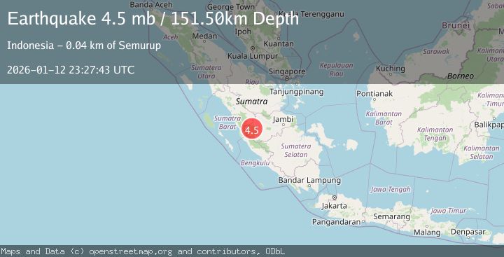
A 4.5 magnitude earthquake struck on SOUTHERN SUMATRA, INDONESIA, at Mon, 12 Jan 2026 23:27:43 GMT. Depth: 151.5km. Reviewed by EMSC seismologists, this light quake occurred at a magnitude type of mb.
Magnitude
4.5
mb
Source
EMSC
Intensity
-
Agency Reports
1 Sources| Source | Magnitude | Depth | Time |
|---|---|---|---|
| EMSCPrimary | 4.5 | 152 km | 1 month ago |
Earthquake Details
AutomaticEvent IDemsc_EMSC_20260112_0000353
Tsunami PotentialNo
Magnitude Typemb
Nearest Places
- 6.7 km
- 6.7 km
- 6.7 km
- 7.9 km
- 8.0 km
Comments
Join the discussion about this event.
Latest Earthquakes
3.0Mag
southern Sumatra, Indonesia
Time17 hours ago
Depth0.00 km
SourceVYT (Automatic)
3.5Mag
Alaska Peninsula
Time17 hours ago
Depth33.94 km
SourceVYT (Automatic)
4.0Mag
OFFSHORE GUATEMALA
Time17 hours ago
Depth30.00 km
SourceINET (Automatic)
2.5Mag
Antofagasta, Chile
Time17 hours ago
Depth129.76 km
SourceVYT (Automatic)
5.3Mag
SOUTH OF FIJI ISLANDS
Time17 hours ago
Depth587.00 km
SourceEMSC (Automatic)
Nearby Earthquakes
4.0Mag
SOUTHERN SUMATRA, INDONESIA
Time4 years ago
Depth199.00 km
SourceNEIC (Automatic)
5.2Mag
SOUTHERN SUMATRA, INDONESIA
Time17 years ago
Depth80.00 km
SourceEMSC (Automatic)
3.0Mag
SOUTHERN SUMATRA, INDONESIA
Time2 years ago
Depth94.00 km
SourceDJA (Automatic)
2.9Mag
Southern Sumatra, Indonesia
Time0 months ago
Depth14.34 km
SourceBMKG (Automatic)
2.6Mag
southern Sumatra, Indonesia
Time6 days ago
Depth18.80 km
SourceVYT (Automatic)