Earthquake southern Sumatra, Indonesia
Mon, 16 Feb 2026 21:53:52 GMT
Time3 days ago
Location
-2.2436, 101.4201
Depth
18.8 KM
Event Summary
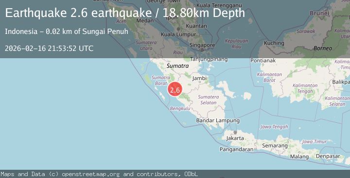
A 2.6 magnitude earthquake struck on southern Sumatra, Indonesia, at Mon, 16 Feb 2026 21:53:52 GMT. Depth: 18.798828125km. Reviewed by VYT seismologists, this minor quake occurred at a magnitude type of earthquake.
Magnitude
2.6
earthquake
Source
VYT
Intensity
-
Agency Reports
1 Sources| Source | Magnitude | Depth | Time |
|---|---|---|---|
| VYTPrimary | 2.6 | 19 km | 3 days ago |
Earthquake Details
AutomaticEvent IDvyt_kmatjf9omdau
Tsunami PotentialNo
Magnitude Typeearthquake
Nearest Places
- Desa Limok Manaih Pulau Tengah0.8 km
- Desa Telago1.2 km
- Gunung Raya2.0 km
- Kecamatan Keliling Danau2.1 km
- Desa Benik2.4 km
Comments
Join the discussion about this event.
Latest Earthquakes
3.3Mag
Sumba region, Indonesia
Time11 minutes ago
Depth17.09 km
SourceVYT (Automatic)
3.2Mag
West Papua Region, Indonesia
Time12 minutes ago
Depth10.00 km
SourceBMKG
1.4Mag
Southeastern Alaska
Time14 minutes ago
Depth0.00 km
SourceVYT (Automatic)
3.1Mag
ANTOFAGASTA, CHILE
Time16 minutes ago
Depth194.50 km
SourceCSN (Automatic)
2.4Mag
Central California
Time16 minutes ago
Depth0.00 km
SourceVYT (Automatic)
Nearby Earthquakes
2.9Mag
Southern Sumatra, Indonesia
Time3 weeks ago
Depth14.34 km
SourceBMKG (Automatic)
2.5Mag
Southern Sumatra, Indonesia
Time3 weeks ago
Depth15.39 km
SourceBMKG (Automatic)
3.5Mag
Southern Sumatra, Indonesia
Time2 weeks ago
Depth67.02 km
SourceBMKG (Automatic)
6.6Mag
SOUTHERN SUMATRA, INDONESIA
Time16 years ago
Depth30.00 km
SourceEMSC (Automatic)
3.0Mag
SOUTHERN SUMATRA, INDONESIA
Time3 years ago
Depth42.00 km
SourceDJA (Automatic)