Earthquake MOLUCCA SEA
Sun, 18 Jan 2026 04:16:48 GMT
Time1 month ago
Location
0.6305, 125.3387
Depth
84.9 KM
Event Summary
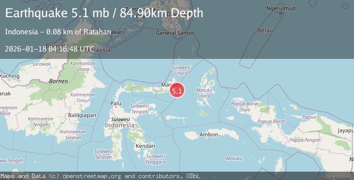
A 5.1 magnitude earthquake struck on MOLUCCA SEA, at Sun, 18 Jan 2026 04:16:48 GMT. Depth: 84.9km. Reviewed by EMSC seismologists, this moderate quake occurred at a magnitude type of mb.
Magnitude
5.1
mb
Source
EMSC
Intensity
-
Agency Reports
1 Sources| Source | Magnitude | Depth | Time |
|---|---|---|---|
| EMSCPrimary | 5.1 | 85 km | 1 month ago |
Earthquake Details
AutomaticEvent IDemsc_EMSC_20260118_0000059
Tsunami PotentialNo
Magnitude Typemb
Nearest Places
- Pulau Pakolor57.9 km
- Pulau Balingbaling60.9 km
- Pulau Bentenan61.3 km
- Pulau Punten62.4 km
- Tanjung Popaya62.9 km
Comments
Join the discussion about this event.
Latest Earthquakes
3.1Mag
Bali Region, Indonesia
Time10 hours ago
Depth19.14 km
SourceBMKG
2.7Mag
Coquimbo, Chile
Time10 hours ago
Depth14.16 km
SourceVYT (Automatic)
1.7Mag
Southeastern Alaska
Time10 hours ago
Depth5.98 km
SourceVYT (Automatic)
2.1Mag
Tarapaca, Chile
Time10 hours ago
Depth110.35 km
SourceVYT (Automatic)
2.7Mag
Minahassa Peninsula, Sulawesi
Time10 hours ago
Depth114.15 km
SourceBMKG
Nearby Earthquakes
3.0Mag
MOLUCCA SEA
Time6 months ago
Depth16.00 km
SourceBMKG (Automatic)
4.0Mag
MOLUCCA SEA
Time2 years ago
Depth32.00 km
SourceBMKG (Automatic)
3.0Mag
MOLUCCA SEA
Time9 months ago
Depth23.00 km
SourceBMKG (Automatic)
5.1Mag
MOLUCCA SEA
Time2 years ago
Depth70.00 km
SourceEMSC (Automatic)
3.4Mag
Northern Molucca Sea
Time3 weeks ago
Depth11.41 km
SourceBMKG (Automatic)