Earthquake Northern Molucca Sea
Thu, 22 Jan 2026 20:23:24 GMT
Time5 days ago
Location
0.4669, 125.3283
Depth
11.4 KM
Event Summary
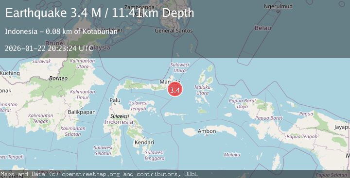
A 3.4 magnitude earthquake struck on Northern Molucca Sea, at Thu, 22 Jan 2026 20:23:24 GMT. Depth: 11.408834km. Reviewed by BMKG seismologists, this minor quake occurred at a magnitude type of M.
Magnitude
3.4
M
Source
BMKG
Intensity
-
Agency Reports
1 Sources| Source | Magnitude | Depth | Time |
|---|---|---|---|
| BMKGPrimary | 3.4 | 11 km | 5 days ago |
Earthquake Details
AutomaticEvent IDbmg2026bnxx
Tsunami PotentialNo
Magnitude TypeM
Nearest Places
- Pulau Pakolor70.6 km
- Pulau Balingbaling72.5 km
- Pulau Bentenan73.2 km
- Pulau Punten73.6 km
- Tanjung Sompini74.7 km
Comments
Join the discussion about this event.
Latest Earthquakes
0.9Mag
10 km SSW of Valle Vista, CA
Time11 minutes ago
Depth15.42 km
SourceUSGS (Automatic)
2.7Mag
Java, Indonesia
Time19 minutes ago
Depth109.39 km
SourceBMKG (Automatic)
1.5Mag
26 km E of Bridgeport, California
Time19 minutes ago
Depth11.74 km
SourceUSGS (Automatic)
2.2Mag
Sumbawa Region, Indonesia
Time27 minutes ago
Depth51.34 km
SourceBMKG (Automatic)
3.0Mag
OREGON
Time34 minutes ago
Depth0.20 km
SourceUW (Automatic)
Nearby Earthquakes
2.9Mag
MINAHASA, SULAWESI, INDONESIA
Time4 days ago
Depth18.00 km
SourceBMKG (Automatic)
3.0Mag
MOLUCCA SEA
Time4 days ago
Depth9.00 km
SourceBMKG (Automatic)
4.3Mag
Southern Molucca Sea
Time5 days ago
Depth5.64 km
SourceBMKG (Automatic)
4.3Mag
Southern Molucca Sea
Time3 days ago
Depth11.97 km
SourceBMKG (Automatic)
3.0Mag
Northern Molucca Sea
Time1 day ago
Depth25.04 km
SourceBMKG (Automatic)