Earthquake FRANCE-GERMANY BORDER REGION
Wed, 04 Feb 2026 00:14:43 GMT
Time2 weeks ago
Location
48.0130, 8.1610
Depth
10.0 KM
Event Summary
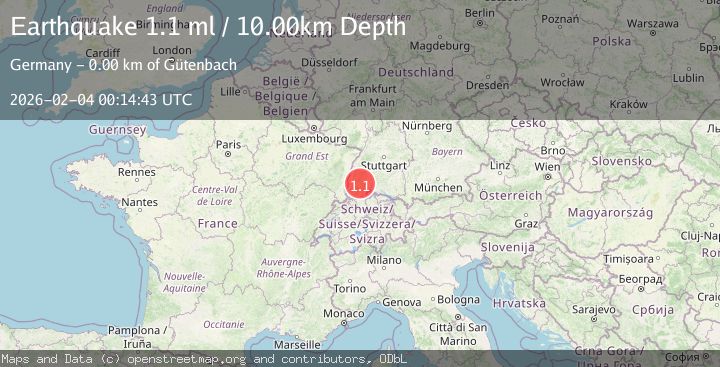
A 1.1 magnitude earthquake struck on FRANCE-GERMANY BORDER REGION, at Wed, 04 Feb 2026 00:14:43 GMT. Depth: 10km. Reviewed by EMSC seismologists, this minor quake occurred at a magnitude type of ml.
Magnitude
1.1
ml
Source
EMSC
Intensity
-
Agency Reports
1 Sources| Source | Magnitude | Depth | Time |
|---|---|---|---|
| EMSCPrimary | 1.1 | 10 km | 2 weeks ago |
Earthquake Details
AutomaticEvent IDemsc_EMSC_20260204_0000089
Tsunami PotentialNo
Magnitude Typeml
Nearest Places
- Mooshof1.2 km
- Brennersloch1.3 km
- Dreistegen1.5 km
- Neukirch1.6 km
- Steinberg1.7 km
Comments
Join the discussion about this event.
Latest Earthquakes
0.7Mag
7 km WNW of Cobb, CA
Time4 minutes ago
Depth1.75 km
SourceUSGS (Automatic)
1.2Mag
9 km N of Banning, CA
Time6 minutes ago
Depth18.03 km
SourceUSGS (Automatic)
2.1Mag
Southern California
Time7 minutes ago
Depth8.54 km
SourceVYT (Automatic)
2.2Mag
Sweden
Time11 minutes ago
Depth0.00 km
SourceVYT (Automatic)
2.6Mag
West Papua Region, Indonesia
Time14 minutes ago
Depth14.47 km
SourceBMKG
Nearby Earthquakes
3.0Mag
GERMANY
Time11 years ago
Depth6.00 km
SourceLED (Automatic)
5.4Mag
FRANCE
Time21 years ago
Depth7.20 km
SourceEMSC (Automatic)
0.6Mag
FRANCE-GERMANY BORDER REGION
Time3 weeks ago
Depth15.00 km
SourceLED (Automatic)
1.1Mag
FRANCE-GERMANY BORDER REGION
Time3 weeks ago
Depth17.00 km
SourceEMSC (Automatic)
0.7Mag
FRANCE-GERMANY BORDER REGION
Time3 days ago
Depth10.00 km
SourceLED (Automatic)