Earthquake 9 km N of Banning, CA
Fri, 20 Feb 2026 08:04:41 GMT
Time1 hour ago
Location
34.0082, -116.8958
Depth
18.0 KM
Event Summary
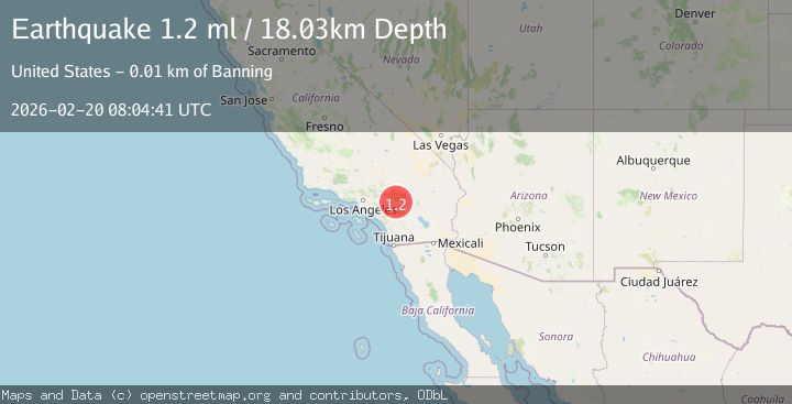
A 1.2 magnitude earthquake struck on 9 km N of Banning, CA, at Fri, 20 Feb 2026 08:04:41 GMT. Depth: 18.0300006866455km. Reviewed by USGS seismologists, this minor quake occurred at a magnitude type of ml.
Magnitude
1.2
ml
Source
USGS
Intensity
-
Agency Reports
1 Sources| Source | Magnitude | Depth | Time |
|---|---|---|---|
| USGSPrimary | 1.2 | 18 km | 1 hour ago |
Earthquake Details
AutomaticEvent IDusgs_ci41400304
Tsunami PotentialNo
Magnitude Typeml
Nearest Places
- Pine Powerhouse1.2 km
- Davis Ranch1.3 km
- Gilman Canyon1.6 km
- West Branch Hathaway Creek2.6 km
- Pine Bench2.9 km
Comments
Join the discussion about this event.
Latest Earthquakes
2.7Mag
Tarapaca, Chile
Time1 hour ago
Depth93.63 km
SourceVYT (Automatic)
3.5Mag
Seram, Indonesia
Time1 hour ago
Depth10.00 km
SourceBMKG
0.7Mag
6 km NW of The Geysers, CA
Time1 hour ago
Depth3.96 km
SourceUSGS (Automatic)
2.4Mag
Northern Sumatra, Indonesia
Time1 hour ago
Depth10.18 km
SourceBMKG
0.8Mag
5 km SW of Anza, CA
Time1 hour ago
Depth7.50 km
SourceUSGS (Automatic)
Nearby Earthquakes
1.4Mag
8 km NNE of Banning, CA
Time3 weeks ago
Depth12.57 km
SourceUSGS (Automatic)
1.1Mag
12 km N of Banning, CA
Time1 week ago
Depth12.38 km
SourceUSGS (Automatic)
1.4Mag
7 km NNE of Beaumont, CA
Time3 weeks ago
Depth8.31 km
SourceUSGS (Automatic)
1.1Mag
6 km NNE of Banning, CA
Time3 weeks ago
Depth8.23 km
SourceUSGS (Automatic)
2.1Mag
8 km NNE of Beaumont, CA
Time2 weeks ago
Depth6.78 km
SourceUSGS (Automatic)