Earthquake SOUTH OF KERMADEC ISLANDS
Sat, 13 Feb 2021 11:30:40 GMT
Time5 years ago
Location
-34.5100, 179.5600
Depth
219.0 KM
Event Summary
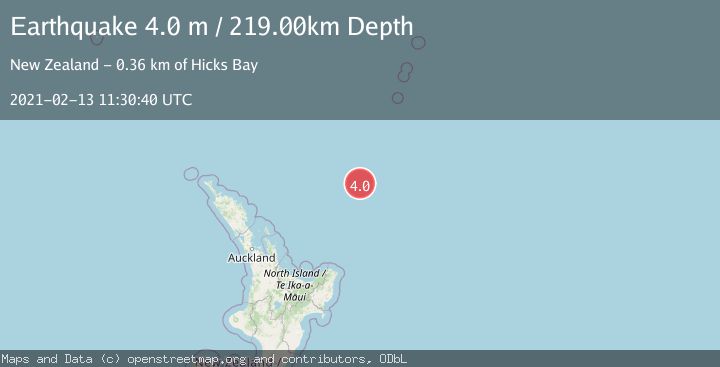
A 4.0 magnitude earthquake struck on SOUTH OF KERMADEC ISLANDS, at Sat, 13 Feb 2021 11:30:40 GMT. Depth: 219km. Reviewed by GNS seismologists, this light quake occurred at a magnitude type of m.
Magnitude
4.0
m
Source
GNS
Intensity
-
Agency Reports
1 Sources| Source | Magnitude | Depth | Time |
|---|---|---|---|
| GNSPrimary | 4.0 | 219 km | 5 years ago |
Earthquake Details
AutomaticEvent IDemsc_GNS_20210213_0000093
Tsunami PotentialNo
Magnitude Typem
Nearest Places
- Kibblewhite Seamount28.4 km
- Brothers Seamount61.0 km
- James Healy Seamount74.2 km
- Cotton Seamount80.5 km
- Ngātoroirangi Seamount88.8 km
Comments
Join the discussion about this event.
Latest Earthquakes
1.7Mag
Kenai Peninsula, Alaska
Time8 hours ago
Depth2.08 km
SourceVYT (Automatic)
2.5Mag
Central Alaska
Time8 hours ago
Depth0.00 km
SourceVYT (Automatic)
1.5Mag
42 km SSW of Cantwell, Alaska
Time8 hours ago
Depth5.10 km
SourceUSGS (Automatic)
2.3Mag
northwestern Russia
Time8 hours ago
Depth0.00 km
SourceVYT (Automatic)
1.1Mag
7 km WSW of Corona, CA
Time8 hours ago
Depth22.23 km
SourceUSGS (Automatic)
Nearby Earthquakes
4.0Mag
SOUTH OF KERMADEC ISLANDS
Time2 years ago
Depth300.00 km
SourceGNS (Automatic)
5.0Mag
SOUTH OF KERMADEC ISLANDS
Time7 years ago
Depth167.00 km
SourceEMSC (Automatic)
4.0Mag
SOUTH OF KERMADEC ISLANDS
Time3 years ago
Depth233.00 km
SourceGNS (Automatic)
5.1Mag
SOUTH OF KERMADEC ISLANDS
Time4 years ago
Depth10.00 km
SourceNEIC (Automatic)
3.6Mag
SOUTH OF KERMADEC ISLANDS
Time1 week ago
Depth211.80 km
SourceGNS (Automatic)