Earthquake SOUTH OF KERMADEC ISLANDS
Wed, 14 Jan 2026 14:24:21 GMT
Time1 month ago
Location
-34.9438, 178.9843
Depth
221.9 KM
Event Summary
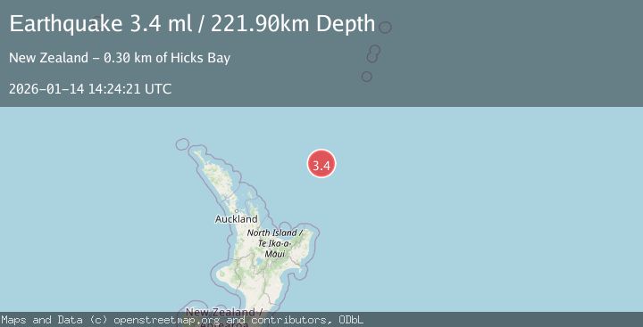
A 3.4 magnitude earthquake struck on SOUTH OF KERMADEC ISLANDS, at Wed, 14 Jan 2026 14:24:21 GMT. Depth: 221.9km. Reviewed by GNS seismologists, this minor quake occurred at a magnitude type of ml.
Magnitude
3.4
ml
Source
GNS
Intensity
-
Agency Reports
1 Sources| Source | Magnitude | Depth | Time |
|---|---|---|---|
| GNSPrimary | 3.4 | 222 km | 1 month ago |
Earthquake Details
AutomaticEvent IDemsc_GNS_20260114_0000178
Tsunami PotentialNo
Magnitude Typeml
Nearest Places
- James Healy Seamount4.1 km
- Brothers Seamount10.4 km
- Cotton Seamount12.0 km
- Silent Two Seamount26.3 km
- Rose-Marie Thompson Seamount40.3 km
Comments
Join the discussion about this event.
Latest Earthquakes
2.1Mag
West Papua Region, Indonesia
Time7 minutes ago
Depth10.00 km
SourceBMKG
3.6Mag
NORTH ISLAND OF NEW ZEALAND
Time9 minutes ago
Depth43.10 km
SourceGNS (Automatic)
2.2Mag
Seram, Indonesia
Time11 minutes ago
Depth4.61 km
SourceBMKG
0.7Mag
Southern Alaska
Time13 minutes ago
Depth0.00 km
SourceVYT (Automatic)
1.4Mag
8 km N of Rancho Cucamonga, CA
Time19 minutes ago
Depth3.48 km
SourceUSGS (Automatic)
Nearby Earthquakes
4.0Mag
SOUTH OF KERMADEC ISLANDS
Time2 months ago
Depth100.00 km
SourceGNS (Automatic)
3.0Mag
OFF E. COAST OF N. ISLAND, N.Z.
Time4 years ago
Depth188.00 km
SourceGNS (Automatic)
5.3Mag
SOUTH OF KERMADEC ISLANDS
Time4 years ago
Depth176.00 km
SourceEMSC (Automatic)
3.3Mag
OFF E. COAST OF N. ISLAND, N.Z.
Time1 month ago
Depth193.80 km
SourceGNS (Automatic)
5.4Mag
SOUTH OF KERMADEC ISLANDS
Time13 years ago
Depth136.00 km
SourceEMSC (Automatic)