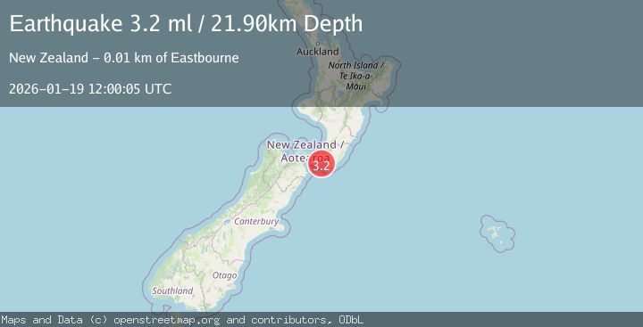
Earthquake COOK STRAIT, NEW ZEALAND
Mon, 19 Jan 2026 12:00:05 GMT
Time1 month ago
Location
-41.4146, 174.9879
Depth
21.9 KM
Event Summary
A 3.2 magnitude earthquake struck on COOK STRAIT, NEW ZEALAND, at Mon, 19 Jan 2026 12:00:05 GMT. Depth: 21.9km. Reviewed by GNS seismologists, this minor quake occurred at a magnitude type of ml.
Magnitude
3.2
ml
Source
GNS
Intensity
-
Agency Reports
1 Sources| Source | Magnitude | Depth | Time |
|---|---|---|---|
| GNSPrimary | 3.2 | 22 km | 1 month ago |
Earthquake Details
AutomaticEvent IDemsc_GNS_20260119_0000142
Tsunami PotentialNo
Magnitude Typeml
Nearest Places
- Windy Point1.9 km
- Fishermans Rock2.3 km
- Mukamuka2.9 km
- Kotumu3.5 km
- The Peak3.9 km
Comments
Join the discussion about this event.
Latest Earthquakes
0.9Mag
81 km NNW of Karluk, Alaska
Time9 minutes ago
Depth34.10 km
SourceUSGS (Automatic)
1.5Mag
Tarapaca, Chile
Time19 minutes ago
Depth32.84 km
SourceVYT (Automatic)
2.4Mag
Potosi, Bolivia
Time22 minutes ago
Depth239.01 km
SourceVYT (Automatic)
2.3Mag
Minahassa Peninsula, Sulawesi
Time22 minutes ago
Depth146.04 km
SourceBMKG
1.3Mag
29 km W of Garden City, Texas
Time28 minutes ago
Depth3.35 km
SourceUSGS (Automatic)
Nearby Earthquakes
3.0Mag
NORTH ISLAND OF NEW ZEALAND
Time1 year ago
Depth14.90 km
SourceGNS (Automatic)
3.0Mag
COOK STRAIT, NEW ZEALAND
Time1 year ago
Depth15.90 km
SourceGNS (Automatic)
3.4Mag
NORTH ISLAND OF NEW ZEALAND
Time3 days ago
Depth21.70 km
SourceGNS (Automatic)
5.2Mag
COOK STRAIT, NEW ZEALAND
Time16 years ago
Depth35.00 km
SourceNEIC (Automatic)
3.0Mag
NORTH ISLAND OF NEW ZEALAND
Time4 months ago
Depth5.90 km
SourceGNS (Automatic)