Earthquake NORTH ISLAND OF NEW ZEALAND
Mon, 26 Jan 2026 01:25:57 GMT
Time1 day ago
Location
-40.6245, 176.0082
Depth
22.7 KM
Event Summary
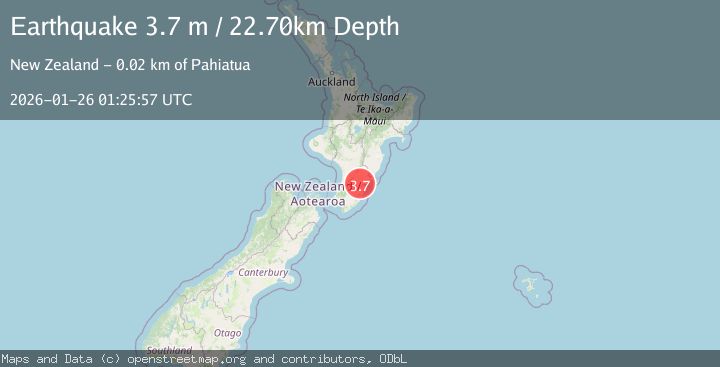
A 3.7 magnitude earthquake struck on NORTH ISLAND OF NEW ZEALAND, at Mon, 26 Jan 2026 01:25:57 GMT. Depth: 22.7km. Reviewed by GNS seismologists, this minor quake occurred at a magnitude type of m.
Magnitude
3.7
m
Source
GNS
Intensity
-
Agency Reports
1 Sources| Source | Magnitude | Depth | Time |
|---|---|---|---|
| GNSPrimary | 3.7 | 23 km | 1 day ago |
Earthquake Details
AutomaticEvent IDemsc_GNS_20260126_0000027
Tsunami PotentialNo
Magnitude Typem
Nearest Places
- Tiraumea Stream1.5 km
- Round Top1.7 km
- Tiraumea1.9 km
- Spring Hill2.6 km
- Tiraumea3.3 km
Comments
Join the discussion about this event.
Latest Earthquakes
1.4Mag
41 km NW of Toyah, Texas
Time6 minutes ago
Depth2.74 km
SourceUSGS (Automatic)
2.0Mag
Sumbawa Region, Indonesia
Time10 minutes ago
Depth107.77 km
SourceBMKG (Automatic)
1.7Mag
26 km WNW of Ludlow, CA
Time14 minutes ago
Depth1.36 km
SourceUSGS (Automatic)
3.1Mag
HAITI REGION
Time17 minutes ago
Depth7.00 km
SourceAYIT (Automatic)
2.6Mag
PUERTO RICO
Time23 minutes ago
Depth16.10 km
SourcePR (Automatic)
Nearby Earthquakes
3.0Mag
NORTH ISLAND OF NEW ZEALAND
Time3 days ago
Depth21.50 km
SourceGNS (Automatic)
3.0Mag
COOK STRAIT, NEW ZEALAND
Time6 days ago
Depth42.00 km
SourceGNS (Automatic)
3.5Mag
NORTH ISLAND OF NEW ZEALAND
Time2 days ago
Depth16.90 km
SourceGNS (Automatic)
4.4Mag
COOK STRAIT, NEW ZEALAND
Time13 hours ago
Depth24.80 km
SourceGNS (Automatic)
3.3Mag
NORTH ISLAND OF NEW ZEALAND
Time1 day ago
Depth73.10 km
SourceGNS (Automatic)