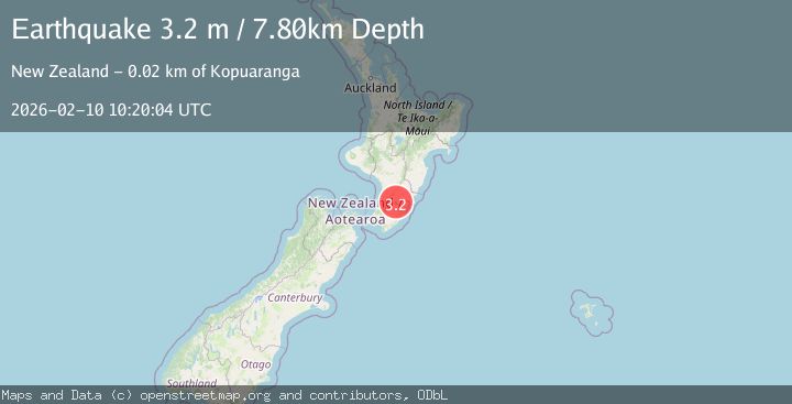
Earthquake NORTH ISLAND OF NEW ZEALAND
Tue, 10 Feb 2026 10:20:04 GMT
Time1 week ago
Location
-40.6897, 175.8087
Depth
7.8 KM
Event Summary
A 3.2 magnitude earthquake struck on NORTH ISLAND OF NEW ZEALAND, at Tue, 10 Feb 2026 10:20:04 GMT. Depth: 7.8km. Reviewed by GNS seismologists, this minor quake occurred at a magnitude type of m.
Magnitude
3.2
m
Source
GNS
Intensity
-
Agency Reports
1 Sources| Source | Magnitude | Depth | Time |
|---|---|---|---|
| GNSPrimary | 3.2 | 8 km | 1 week ago |
Earthquake Details
AutomaticEvent IDemsc_GNS_20260210_0000133
Tsunami PotentialNo
Magnitude Typem
Nearest Places
- Mangatakoto Stream1.0 km
- Tawataia Creek1.5 km
- Tawatawa1.5 km
- Awatea2.5 km
- Mount Baker3.3 km
Comments
Join the discussion about this event.
Latest Earthquakes
0.9Mag
81 km NNW of Karluk, Alaska
Time10 minutes ago
Depth34.10 km
SourceUSGS (Automatic)
1.5Mag
Tarapaca, Chile
Time19 minutes ago
Depth32.84 km
SourceVYT (Automatic)
2.4Mag
Potosi, Bolivia
Time23 minutes ago
Depth239.01 km
SourceVYT (Automatic)
2.3Mag
Minahassa Peninsula, Sulawesi
Time23 minutes ago
Depth146.04 km
SourceBMKG
1.3Mag
29 km W of Garden City, Texas
Time28 minutes ago
Depth3.35 km
SourceUSGS (Automatic)
Nearby Earthquakes
6.2Mag
NORTH ISLAND OF NEW ZEALAND
Time12 years ago
Depth28.00 km
SourceNEIC (Automatic)
5.1Mag
NORTH ISLAND OF NEW ZEALAND
Time1 year ago
Depth32.90 km
SourceEMSC (Automatic)
3.0Mag
NORTH ISLAND OF NEW ZEALAND
Time1 year ago
Depth26.60 km
SourceGNS (Automatic)
3.7Mag
NORTH ISLAND OF NEW ZEALAND
Time3 weeks ago
Depth22.70 km
SourceGNS (Automatic)
3.1Mag
NORTH ISLAND OF NEW ZEALAND
Time1 month ago
Depth19.40 km
SourceGNS (Automatic)