Earthquake NORTH ISLAND OF NEW ZEALAND
Tue, 10 Feb 2026 20:50:09 GMT
Time1 week ago
Location
-39.2598, 175.0340
Depth
17.7 KM
Event Summary
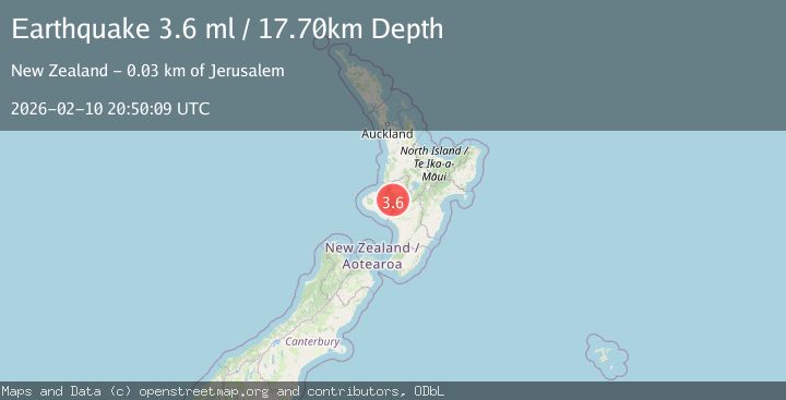
A 3.6 magnitude earthquake struck on NORTH ISLAND OF NEW ZEALAND, at Tue, 10 Feb 2026 20:50:09 GMT. Depth: 17.7km. Reviewed by GNS seismologists, this minor quake occurred at a magnitude type of ml.
Magnitude
3.6
ml
Source
GNS
Intensity
-
Agency Reports
1 Sources| Source | Magnitude | Depth | Time |
|---|---|---|---|
| GNSPrimary | 3.6 | 18 km | 1 week ago |
Earthquake Details
AutomaticEvent IDemsc_GNS_20260210_0000308
Tsunami PotentialNo
Magnitude Typeml
Nearest Places
- Whirinaki0.8 km
- Waipapa Stream1.6 km
- Whirinaki1.8 km
- Mangatiti Stream2.1 km
- Waipapa Stream3.8 km
Comments
Join the discussion about this event.
Latest Earthquakes
2.8Mag
Antofagasta, Chile
Time16 hours ago
Depth0.00 km
SourceVYT (Automatic)
3.3Mag
Near North Coast of West Papua
Time16 hours ago
Depth10.00 km
SourceBMKG
2.5Mag
off the coast of Tarapaca, Chile
Time16 hours ago
Depth0.00 km
SourceVYT (Automatic)
2.6Mag
Sunda Strait, Indonesia
Time17 hours ago
Depth8.74 km
SourceBMKG
2.8Mag
Ceram Sea
Time17 hours ago
Depth5.46 km
SourceBMKG
Nearby Earthquakes
3.0Mag
NORTH ISLAND OF NEW ZEALAND
Time3 years ago
Depth128.00 km
SourceGNS (Automatic)
3.0Mag
NORTH ISLAND OF NEW ZEALAND
Time1 year ago
Depth107.90 km
SourceGNS (Automatic)
3.0Mag
NORTH ISLAND OF NEW ZEALAND
Time1 year ago
Depth96.10 km
SourceGNS (Automatic)
3.0Mag
NORTH ISLAND OF NEW ZEALAND
Time4 days ago
Depth16.80 km
SourceGNS (Automatic)
3.0Mag
NORTH ISLAND OF NEW ZEALAND
Time3 years ago
Depth17.00 km
SourceGNS (Automatic)