Earthquake NORTH ISLAND OF NEW ZEALAND
Sat, 14 Feb 2026 23:45:07 GMT
Time4 days ago
Location
-39.2898, 174.9819
Depth
16.8 KM
Event Summary
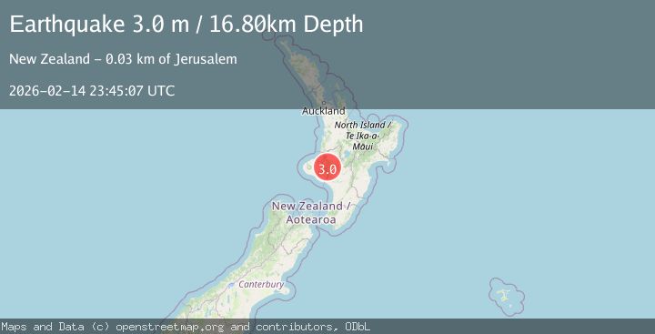
A 3.0 magnitude earthquake struck on NORTH ISLAND OF NEW ZEALAND, at Sat, 14 Feb 2026 23:45:07 GMT. Depth: 16.8km. Reviewed by GNS seismologists, this minor quake occurred at a magnitude type of m.
Magnitude
3.0
m
Source
GNS
Intensity
-
Agency Reports
1 Sources| Source | Magnitude | Depth | Time |
|---|---|---|---|
| GNSPrimary | 3.0 | 17 km | 4 days ago |
Earthquake Details
AutomaticEvent IDemsc_GNS_20260214_0000391
Tsunami PotentialNo
Magnitude Typem
Nearest Places
- Maringana1.5 km
- Mangapurua Stream1.5 km
- Mangapurua Landing2.3 km
- Mangatiti Landing2.6 km
- Bridge to Nowhere2.6 km
Comments
Join the discussion about this event.
Latest Earthquakes
2.9Mag
Seram, Indonesia
Time3 hours ago
Depth15.78 km
SourceBMKG
2.5Mag
Java, Indonesia
Time3 hours ago
Depth115.38 km
SourceBMKG
1.4Mag
7 km NW of The Geysers, CA
Time3 hours ago
Depth1.65 km
SourceUSGS (Automatic)
1.1Mag
7 km NE of San Jacinto, CA
Time3 hours ago
Depth16.11 km
SourceUSGS (Automatic)
1.4Mag
CENTRAL TURKEY
Time3 hours ago
Depth7.00 km
SourceAFAD (Automatic)
Nearby Earthquakes
3.0Mag
NORTH ISLAND OF NEW ZEALAND
Time1 year ago
Depth107.90 km
SourceGNS (Automatic)
3.0Mag
NORTH ISLAND OF NEW ZEALAND
Time1 year ago
Depth96.10 km
SourceGNS (Automatic)
3.0Mag
NORTH ISLAND OF NEW ZEALAND
Time3 years ago
Depth128.00 km
SourceGNS (Automatic)
3.0Mag
NORTH ISLAND OF NEW ZEALAND
Time2 years ago
Depth25.60 km
SourceGNS (Automatic)
3.6Mag
NORTH ISLAND OF NEW ZEALAND
Time1 week ago
Depth17.70 km
SourceGNS (Automatic)