Earthquake NORTH ISLAND OF NEW ZEALAND
Tue, 17 Feb 2026 18:53:05 GMT
Time17 hours ago
Location
-39.5307, 174.3652
Depth
114.6 KM
Event Summary
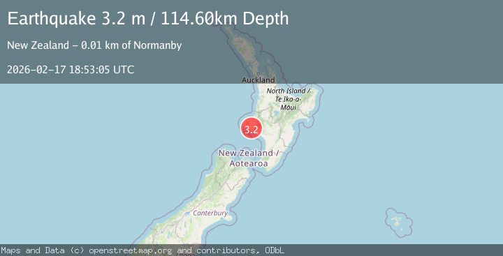
A 3.2 magnitude earthquake struck on NORTH ISLAND OF NEW ZEALAND, at Tue, 17 Feb 2026 18:53:05 GMT. Depth: 114.6km. Reviewed by GNS seismologists, this minor quake occurred at a magnitude type of m.
Magnitude
3.2
m
Source
GNS
Intensity
-
Agency Reports
1 Sources| Source | Magnitude | Depth | Time |
|---|---|---|---|
| GNSPrimary | 3.2 | 115 km | 17 hours ago |
Earthquake Details
AutomaticEvent IDemsc_GNS_20260217_0000281
Tsunami PotentialNo
Magnitude Typem
Nearest Places
- Shanlee0.5 km
- South Taranaki District1.2 km
- Hauering1.3 km
- Mangarata Stream1.5 km
- Ararata1.6 km
Comments
Join the discussion about this event.
Latest Earthquakes
2.3Mag
Tarapaca, Chile
Time17 hours ago
Depth61.65 km
SourceVYT (Automatic)
2.0Mag
Poland
Time17 hours ago
Depth2.32 km
SourceVYT (Automatic)
1.1Mag
4 km SSE of Banning, CA
Time17 hours ago
Depth15.73 km
SourceUSGS (Automatic)
2.0Mag
Kenai Peninsula, Alaska
Time17 hours ago
Depth187.74 km
SourceVYT (Automatic)
2.7Mag
off the coast of Tarapaca, Chile
Time17 hours ago
Depth0.00 km
SourceVYT (Automatic)
Nearby Earthquakes
4.0Mag
NORTH ISLAND OF NEW ZEALAND
Time5 years ago
Depth210.00 km
SourceGNS (Automatic)
3.0Mag
NORTH ISLAND OF NEW ZEALAND
Time3 years ago
Depth195.00 km
SourceGNS (Automatic)
3.1Mag
NORTH ISLAND OF NEW ZEALAND
Time3 weeks ago
Depth131.20 km
SourceGNS (Automatic)
3.0Mag
NORTH ISLAND OF NEW ZEALAND
Time1 year ago
Depth233.00 km
SourceGNS (Automatic)
3.0Mag
NORTH ISLAND OF NEW ZEALAND
Time1 year ago
Depth205.90 km
SourceGNS (Automatic)