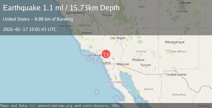
Earthquake 4 km SSE of Banning, CA
Tue, 17 Feb 2026 19:01:43 GMT
Time11 hours ago
Location
33.8913, -116.8527
Depth
15.7 KM
Event Summary
A 1.1 magnitude earthquake struck on 4 km SSE of Banning, CA, at Tue, 17 Feb 2026 19:01:43 GMT. Depth: 15.7299995422363km. Reviewed by USGS seismologists, this minor quake occurred at a magnitude type of ml.
Magnitude
1.1
ml
Source
USGS
Intensity
-
Agency Reports
1 Sources| Source | Magnitude | Depth | Time |
|---|---|---|---|
| USGSPrimary | 1.1 | 16 km | 11 hours ago |
Earthquake Details
AutomaticEvent IDusgs_ci41187263
Tsunami PotentialNo
Magnitude Typeml
Nearest Places
- Barker Peak1.7 km
- Barker Peak Lookout1.7 km
- McMullen Flat2.5 km
- Riverside County Sheriff's Department2.6 km
- Riverside County Road Camp2.7 km
Comments
Join the discussion about this event.
Latest Earthquakes
1.3Mag
10 km WNW of Salcha, Alaska
Time11 hours ago
Depth5.00 km
SourceUSGS (Automatic)
1.2Mag
34 km WSW of Ackerly, Texas
Time11 hours ago
Depth3.87 km
SourceUSGS (Automatic)
1.2Mag
8 km SW of Morongo Valley, CA
Time11 hours ago
Depth15.22 km
SourceUSGS (Automatic)
2.4Mag
Northern Sumatra, Indonesia
Time11 hours ago
Depth7.72 km
SourceBMKG
2.3Mag
Tarapaca, Chile
Time11 hours ago
Depth61.65 km
SourceVYT (Automatic)
Nearby Earthquakes
4.0Mag
Southern California
Time11 hours ago
Depth20.39 km
SourceVYT (Automatic)
2.3Mag
SOUTHERN CALIFORNIA
Time1 month ago
Depth6.70 km
SourceSCSN (Automatic)
3.0Mag
SOUTHERN CALIFORNIA
Time7 years ago
Depth6.00 km
SourceNEIC (Automatic)
1.4Mag
Southern California
Time5 days ago
Depth4.64 km
SourceVYT (Automatic)
1.3Mag
2 km NNW of Banning, CA
Time2 weeks ago
Depth9.62 km
SourceUSGS (Automatic)